Workshops of the 4th Conference on Geographic Information Systems and Spatial Analysis in Agriculture and the Environment.
Workshops of the 4th Conference on Geographic Information Systems and Spatial Analysis in Agriculture and the Environment.
As part of the 4th Conference on Geographic Information Systems and Spatial Analysis in Agriculture and the Environment (AUA, 24-26/5/2022), the following workshops will take place:
W1. Python Programming Language and GIS
W2. Copernicus Satellite Data and Their Applications in Geosciences
W3. Application of Soil Erosion Risk Assessment Methodologies PESERA and (R)USLE in ArcGIS Environment
W4. Management of Geospatial Data with R – Applications with Atmospheric and Environmental Data
W5. Automated Tool for Assessing the Trophic Status of Lakes: Application in Google Earth Engine (GEE) Environment
W6. GPS – Data Management in the Field
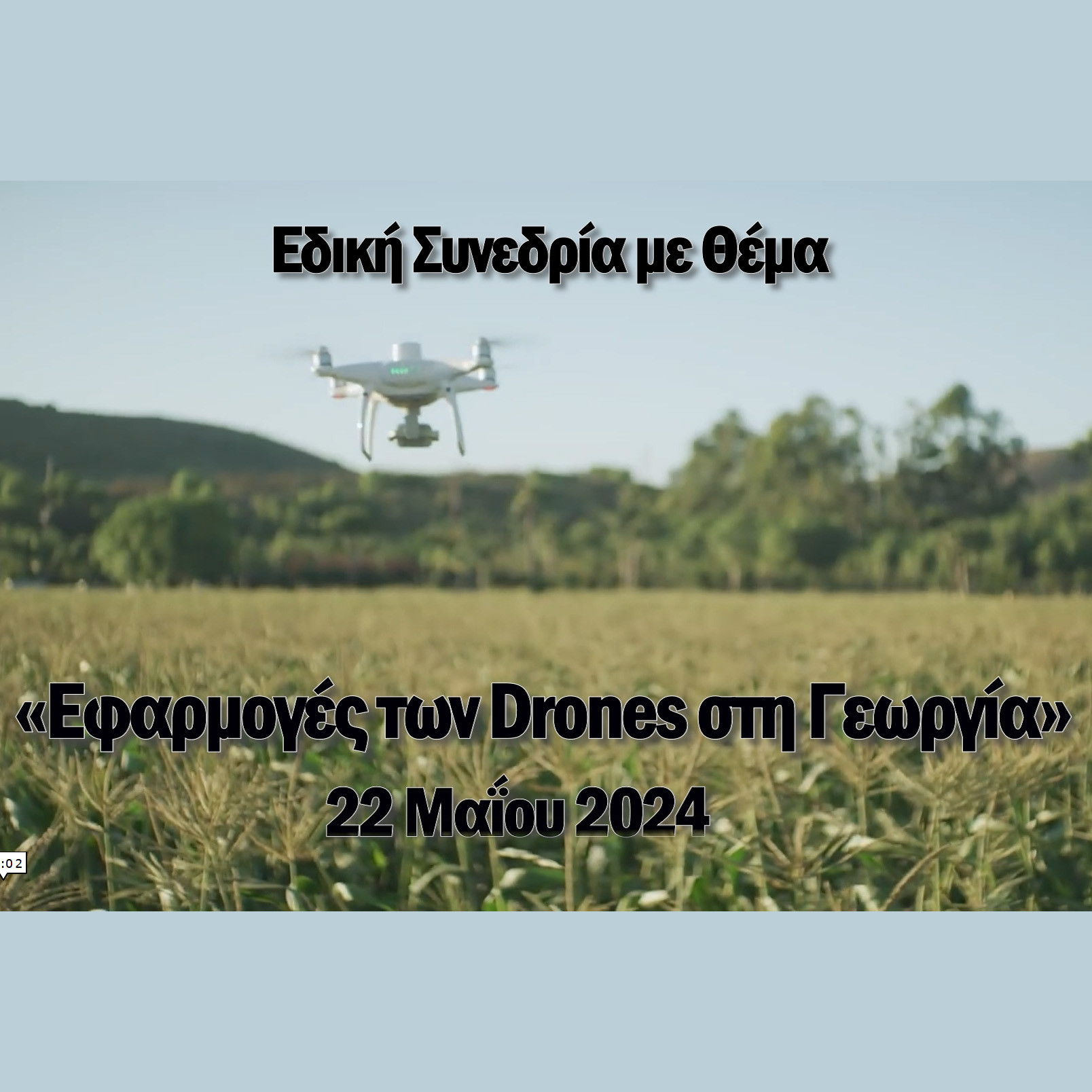
W7. UAS and Applications in Agriculture
W8. Introduction to the Development of Web Mapping Applications
W9. GIS and Spatial Modeling – Management Zone Creation – Exploratory Spatial Data Analysis (ESDA)