Dates and Locations of the Practical Training:
 Monday 25/11, Volos
 Tuesday 26/11, Larisa
 Wednesday 27/11, Karditsa
 Thursday 28/11, Lamia
 Friday 29/11, Livadia
 Monday 2/12, Athens

The GIS Research Unit of the Agricultural University of Athens continues its efforts to support Greek farmers and livestock breeders by utilizing the most advanced digital geospatial methods.
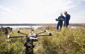
Digital/Smart Agriculture, with Geographic Information Systems (GIS) as its core tool for storing and analyzing all essential information, represents an advanced approach in agriculture, livestock farming, and fisheries. By leveraging technology and collecting data from multiple sources—such as weather, soil, plants, and animals—it enhances productivity while protecting the environment.
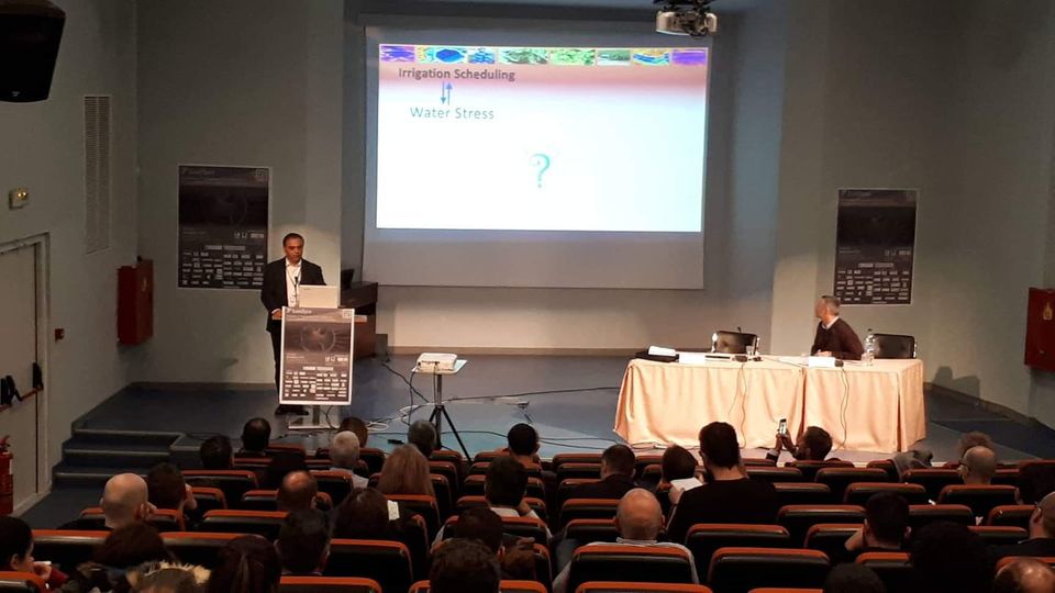
Smart agriculture enables professionals to make optimal decisions. For example, a farmer can determine when to irrigate each field, how much water to use, which nutrients the crops need and in what quantities, and also, when the crops are at risk from pests or diseases. By "listening" to the needs of their crops, farmers can respond promptly and precisely, ensuring efficiency and sustainability.