The GIS Research Unit will participate dynamically in Agrotica 2026, with its own exhibition booth, further strengthening its presence and contribution in the agricultural and geospatial technology sector.
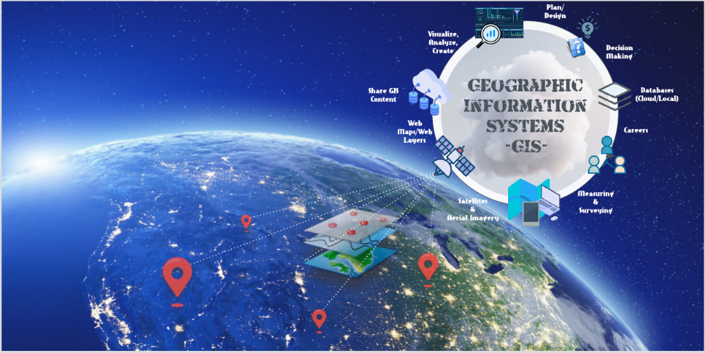
Our participation in the country’s largest agricultural exhibition represents a significant opportunity to showcase our continuous and innovative activities in the Research – Education – Application of Geographic Information Systems (GIS), Remote Sensing, Geospatial Analysis, and Geospatial Artificial Intelligence (GeoAI).
Through the development of advanced methodologies and decision-support tools, the GIS Research Unit actively contributes to the digital transformation of the agricultural and livestock sector, the enhancement of precision and smart farming, and the promotion of sustainable and resilient rural development. GIS συμβάλλει ενεργά στον ψηφιακό μετασχηματισμό του γεωργοκτηνοτροφικού τομέα, στην ενίσχυση της γεωργίας ακριβείας και της «έξυπνης» γεωργίας και στην προώθηση μιας βιώσιμης και ανθεκτικής αγροτικής ανάπτυξης.
At our booth, visitors will have the opportunity to learn about our ongoing research projects, our collaborations with both the private and public sectors, as well as the technological solutions we develop and implement to support the growth of the primary sector and rural areas.
Our goal is to enhance the connection between research and production, foster new partnerships, and present practical applications that contribute to the digital transformation of the agricultural sector.
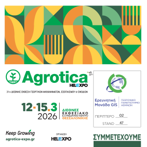
📍 Visit us at Hall 2, Stand 47.
We invite you to visit us and discuss collaboration opportunities, current technological advancements, and the prospects shaped by geospatial technologies for the future of agriculture, environmental management, and sustainable development.