GIS aua

Participation of the GIS Research Unit in the Varibopi Reset program for the restoration of burned areas in the Varibobi region

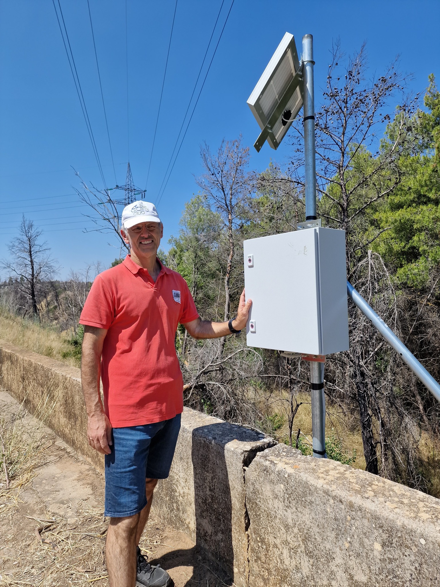
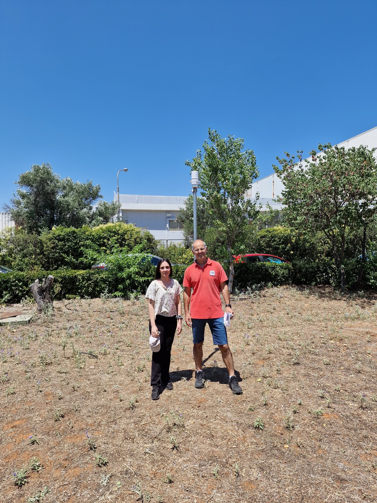
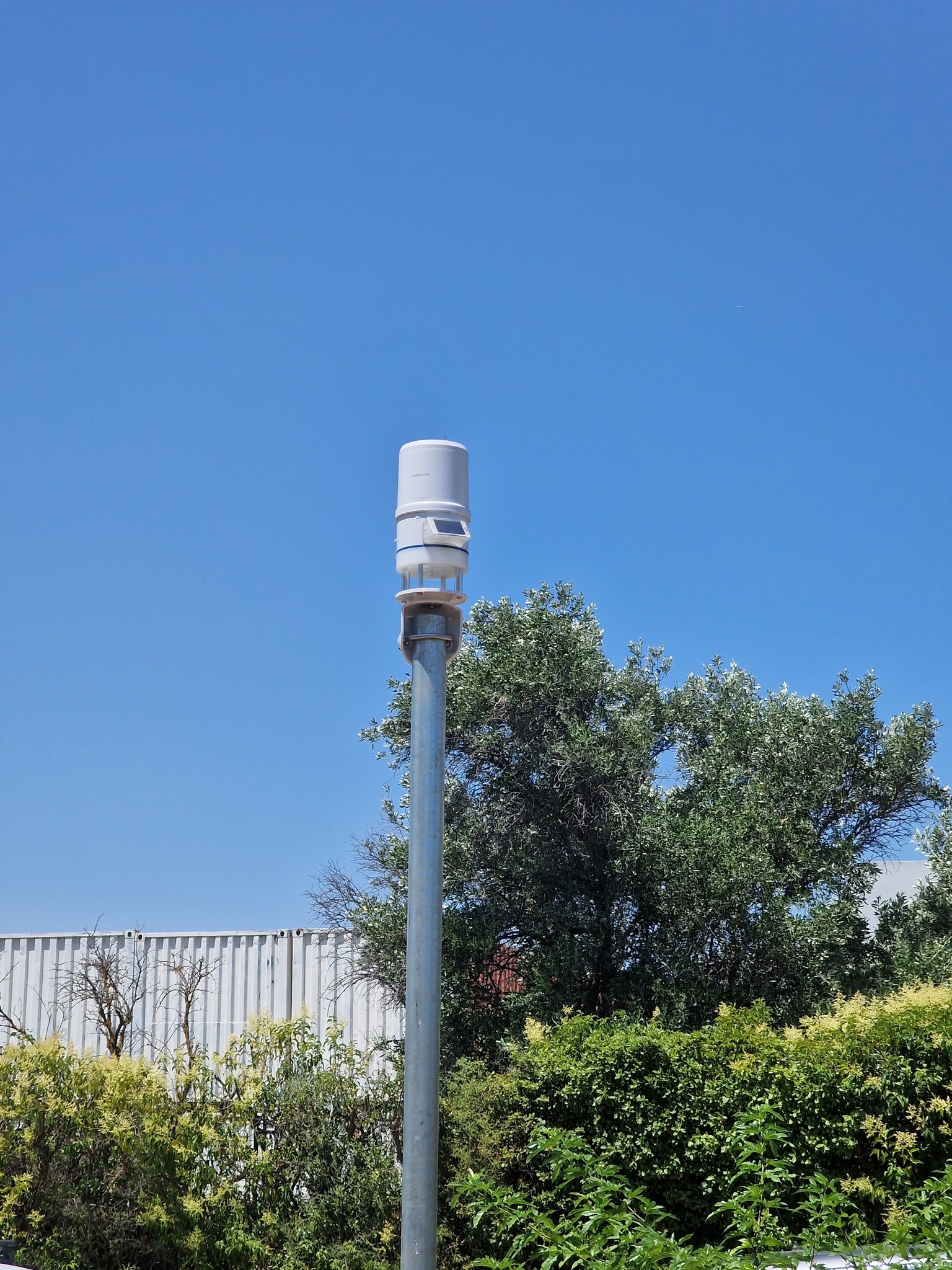
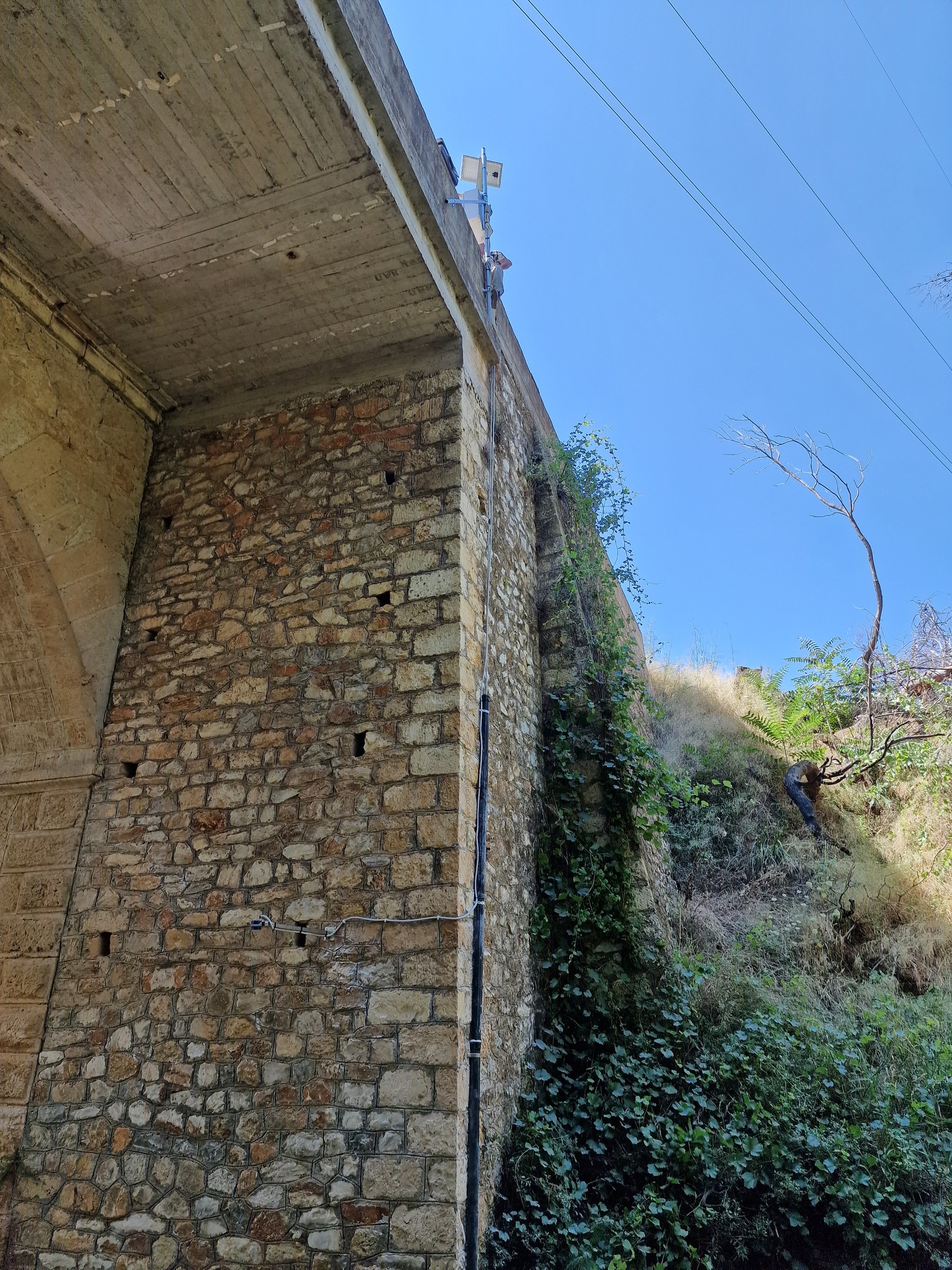
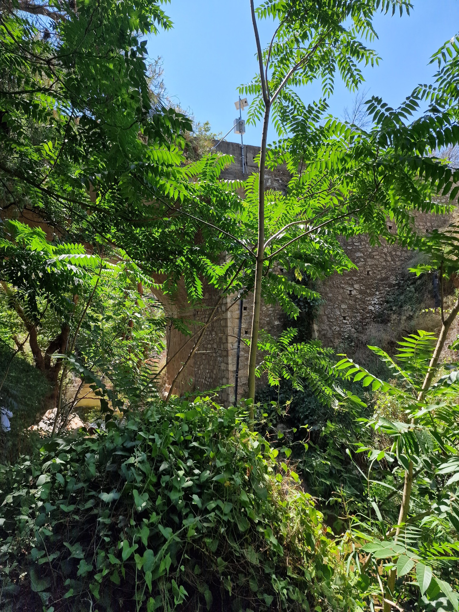
The GIS Research Unit (Dionysis Kalyvas, Konstantinos Soulis, Stergia Palli-Gravani, Vangelis Dosiadis) is participating in the Agricultural University of Athens’ Varibopi Reset project for the restoration of burned areas in the Varibobi region. As part of this initiative, a telemetry hydrometric (with radar for real-time flow measurement) and meteorological station was installed in the area by ScientAct A.E.

More news

Ο καθηγητής Δ. Καλύβας για την Άρδευση ακριβείας, στο Center TV
Διαβάστε Περισσότερα
Γεωπληροφορική και ψηφιακές γεωχωρικές τεχνολογίες στην άσκηση της γεωργίας και στην προστασία του περιβάλλοντος Γ’ κύκλος
Διαβάστε Περισσότερα
Βασική Εκπαίδευση Χειριστών ΣμηΕΑ – Απόκτηση Διπλώματος A1/A2/A3
Διαβάστε Περισσότερα
Παρουσία της Ερευνητικής Μονάδας GIS στο ετήσιο συνέδριο της Ευρωπαϊκής Ένωσης Γεωεπιστημών European Geosciences Union – EGU
Διαβάστε Περισσότερα
Νέος Κύκλος Εκπαίδευσης Χειριστών Drones από το ΚΕΔΙΒΙΜ του ΓΠΑ
Διαβάστε Περισσότερα
Cover Story in Hydrology: The Latest Publication from the GIS Research Unit
Διαβάστε Περισσότερα
Digital Systems for Sustainable Agricultural Development | AgroThessaly 2025
Διαβάστε Περισσότερα
Accredited Training Program for Secondary Education Teachers
Διαβάστε Περισσότερα