The GIS Research Unit of AUA participates in the European research project Integrated Model and Platform for Harvest Prediction of Canned Peaches
The GIS Research Unit of AUA participates in the European research project Integrated Model and Platform for Harvest Prediction of Canned Peaches
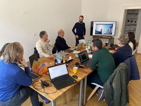
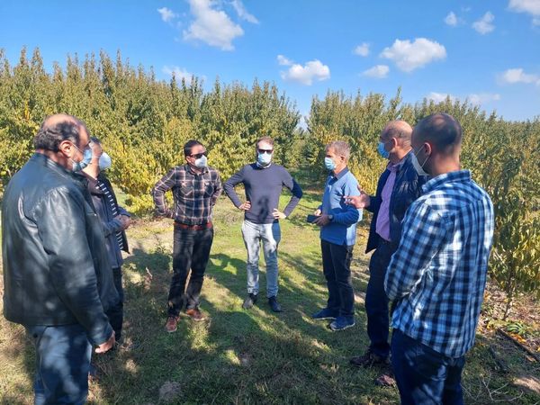
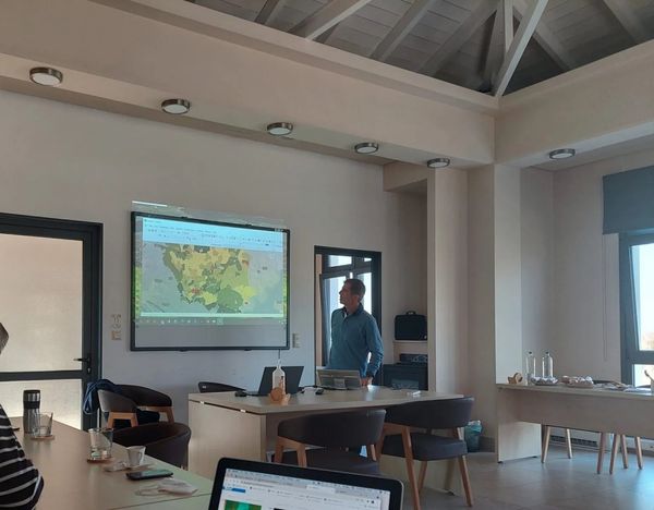
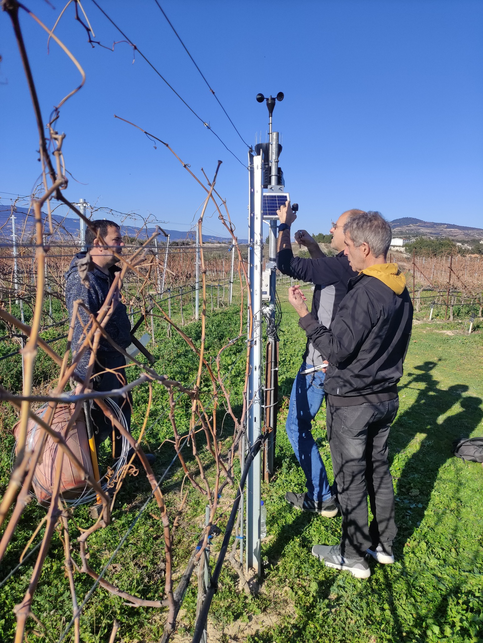
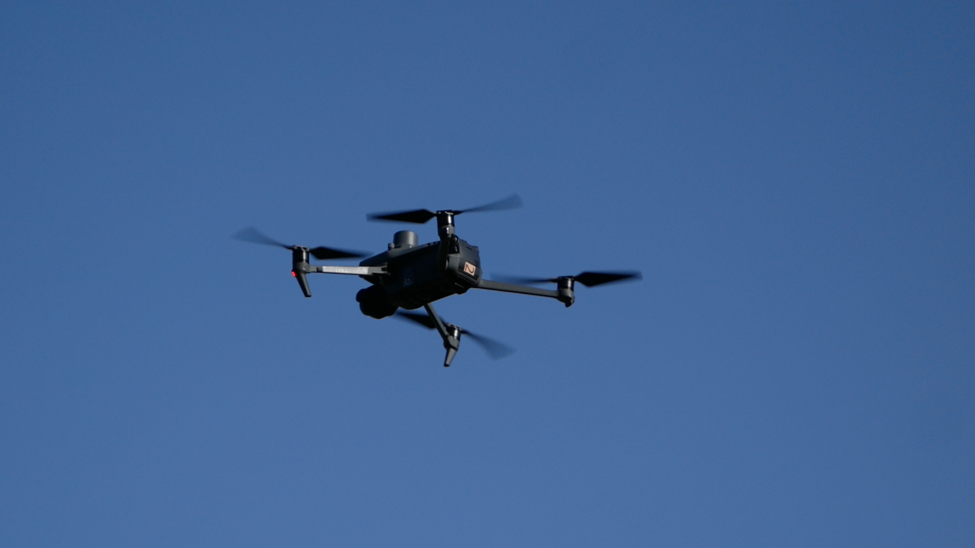
The GIS Research Unit of AUA participates in the European research project Integrated Model and Platform for Harvest Prediction of Canned PeachesGeospatial Technologies (GIS, Remote Sensing), spatial analysis, artificial intelligence, and big data analytics are combined to collect and analyze data for monitoring and evaluating peach tree cultivation. The project is coordinated by the company AGROSTIS. Photos from the meetings in Imathia (kick-off meeting 29-30/10/2021) and Landshut (Lower Bavaria 8-9/2/2023).