42% of Attica’s forest area has burned from 2015 until today.
The figure is shocking — and highlights the need for systematic monitoring and documentation of wildfires.
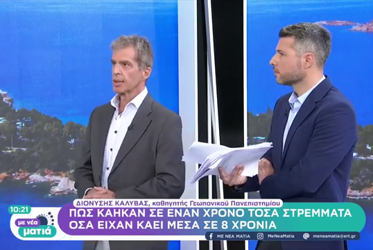
On the program “Update” of ERT NEWS as well as on Αθήνα 984 Radio Station, Professor D. Kalyvas analyzed the work of the GIS Research Unit of the Agricultural University of Athens regarding the mapping and processing of geospatial data from burned areas.
 Using advanced GIS tools and satellite imagery, the team identifies, records, and analyzes the affected areas — aiming to understand the evolution of wildfires and to support the state in matters of prevention and restoration.
Watch the interviews at the links below.