GIS aua

Accredited Training Program for Secondary Education Teachers

🔹Accredited Training Program for Secondary Education Teachers 🔹
📍 Enhance your teaching with digital mapping technologies!
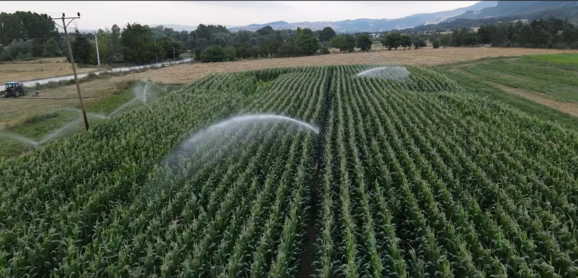
👉This program is designed for teachers of Geography, Geology, Physics, Mathematics, Computer Science, Technology, History, Religious Studies, and other subjects in Gymnasiums, Lyceums, Vocational High Schools (EPAL), and Special Vocational Education Schools (ENEEGYL).Teachers will gain practical skills in integrating digital spatial information (computer-based maps) into their lessons. This will help visualize phenomena, events, and concepts, making teaching more engaging and effective.Additionally, the program covers satellite data, drone imagery, IoT sensor data, and advanced analytical methods, providing a comprehensive understanding of geospatial technology.
✅ Introduction to computer-based maps for visualizing phenomena
✅ Analysis of satellite, drone, and IoT sensor data
✅ Innovative and modern teaching approaches
📅 Registration deadline: March 21, 2025
💰 Participation fee: €270
🔗 More information & application here

More news

Η Ερευνητική Μονάδα GIS του ΓΠΑ ανέπτυξε εκπαιδευτικό υλικό ευφυούς γεωργίας και ξεκινά εκπαίδευση αγροτών από την Περιφέρεια Στερεάς Ελλάδας
Διαβάστε Περισσότερα
GreenStorm General Assembly & Workshop 25- 26-27 Ιουνίου 2025, Αθήνα.
Διαβάστε Περισσότερα
Professor D. Kalyvas on Precision Irrigation – Featured on Center TV
Διαβάστε Περισσότερα
Geoinformatics and Digital Geospatial Technologies in Agriculture and Environmental Protection – 3rd Cycle
Διαβάστε Περισσότερα
Basic Training for UAS Operators – A1/A2/A3 License Acquisition
Διαβάστε Περισσότερα
Presence of the GIS Research Unit at the Annual European Geosciences Union (EGU) Conference
Διαβάστε Περισσότερα
New Drone Operator Training Cycle by the KEDIVIM of the Agricultural University of Athens
Διαβάστε Περισσότερα
Cover Story in Hydrology: The Latest Publication from the GIS Research Unit
Διαβάστε Περισσότερα