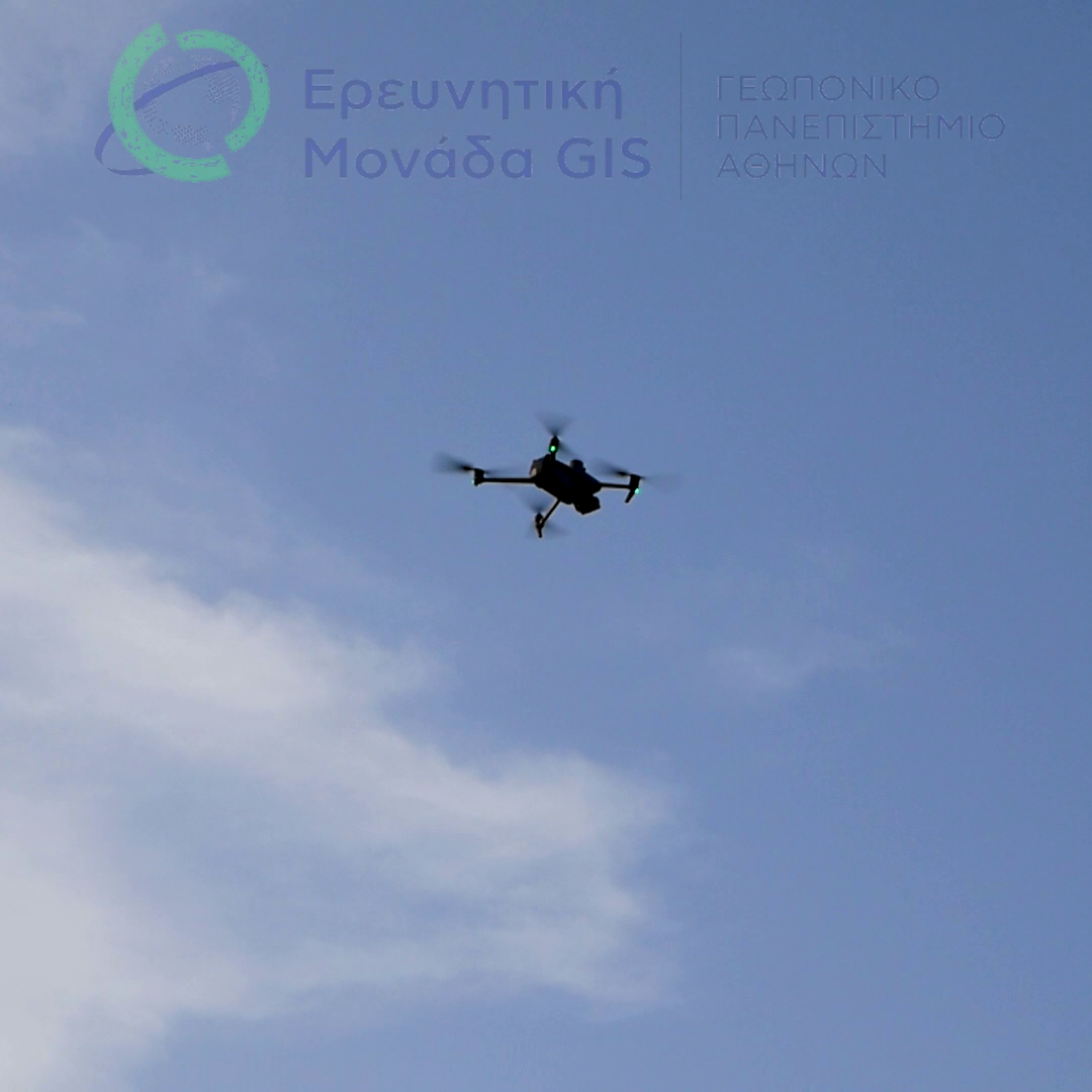
 The National Microsatellite Program includes the participation of the Agricultural University of Athens through its GIS Research Unit, with Professor Dionysios Kalyvas as the scientific lead.
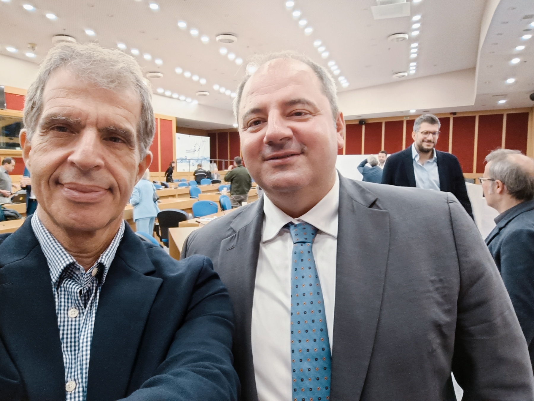
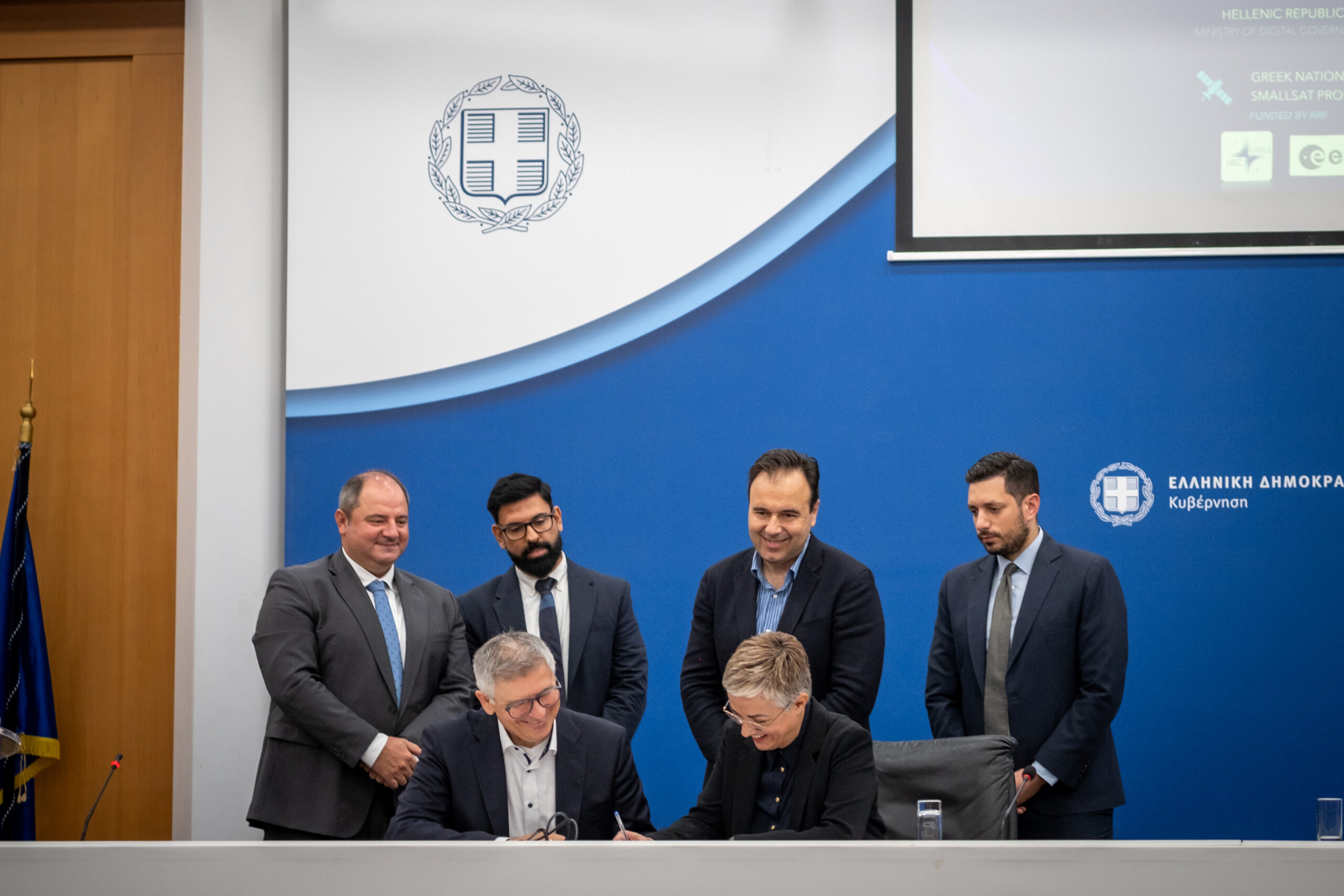
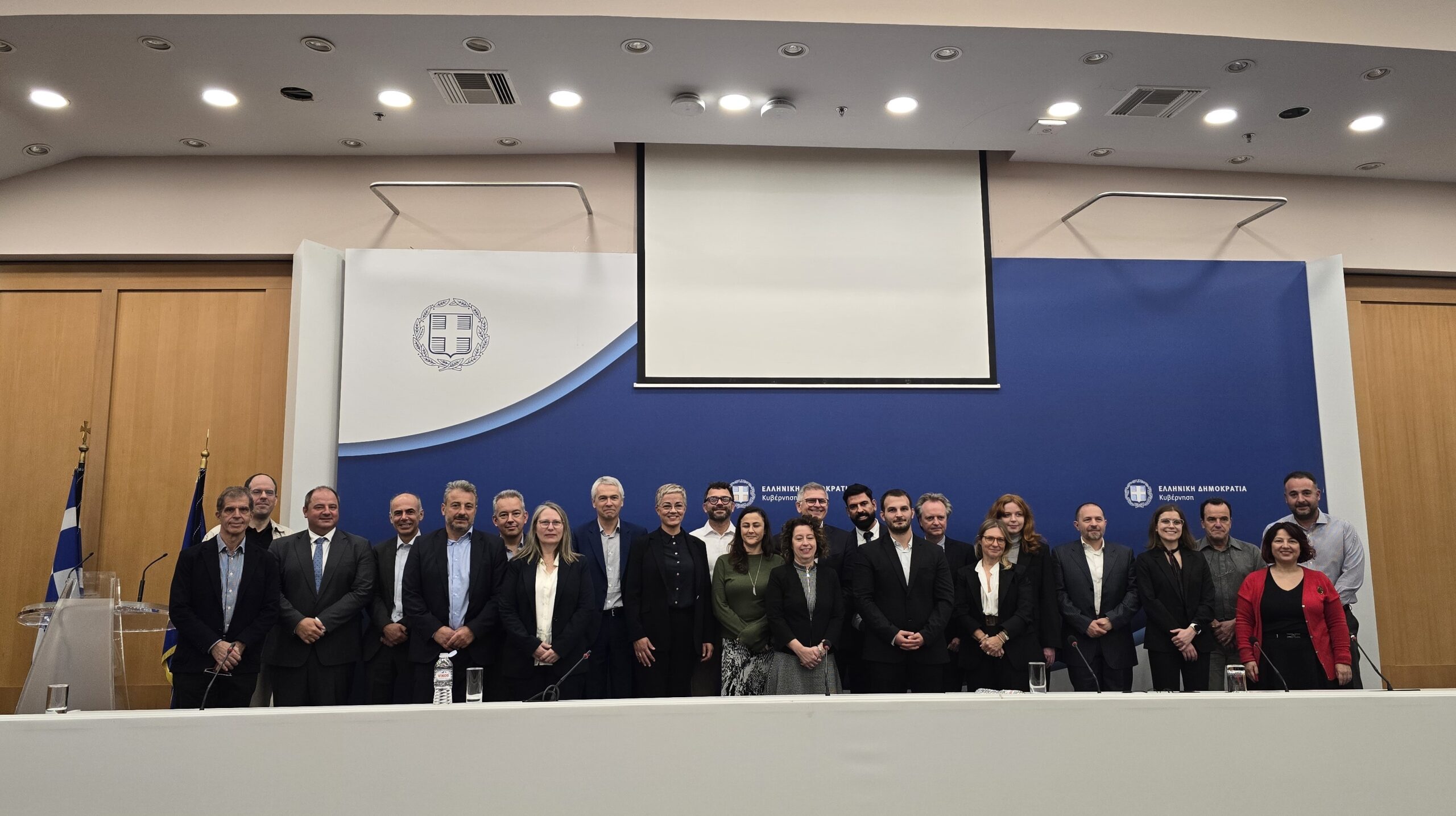
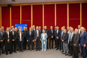
On November 14, 2024, at the Ministry of Digital Governance, contracts were signed between the European Space Agency (ESA) and five consortia as part of the program. The GIS Research Unit of the Agricultural University of Athens will contribute to the development of digital services for the agricultural sector, in collaboration with Agroapps PC, Space Hellas, TotalView, EOFARM, and Cloud Signals.
Through this initiative, Greece is establishing a Governmental Space Hub along with services and products aimed at supporting key public sector domains.
The signing ceremony was attended by the Minister of Digital Governance, Dimitris Papastergiou, Deputy Minister Konstantinos Kyranakis, and Secretary General for Telecommunications and Post, Konstantinos Karantzalos. On behalf of ESA, the agreements were signed by Svein-Jarle Lokas, Head of the National Earth Observation Microsatellite Program.
The contracts signed are part of a comprehensive initiative to develop a geospatial information system tailored to meet Greece's national public sector needs. The program includes the creation of a Governmental Space Hub for processing and distributing satellite data, along with specialized services and products in five key sectors: agriculture, forestry, water resources, land management, and security. This will leverage thermal, optical, and SAR data from microsatellites launched under Axis 1 and 2 of the program, as well as data from European and international satellite missions, to support effective policy-making in these sectors.
The budget for Axis 3—which covers these contracts—is €17 million, funded by the National Recovery and Resilience Plan "Greece 2.0" and implemented in collaboration with ESA. This investment strengthens Greece's role in space technology and its applications in civil protection and crisis management, offering reliable services for both the public and private sectors to support decision-making, resource management, and disaster response.
The Agricultural University of Athens specifically contributes to the development of geospatial services for agriculture, under the leadership of Professor Dionysios Kalyvas. These services include precise crop type mapping, soil moisture assessment, and crop growth monitoring. The data will enhance agricultural management, supporting yield forecasting and irrigation system optimization. By integrating microsatellite data processing models with artificial intelligence methods, agricultural stakeholders will gain a comprehensive view of crop development and production management.
It is worth noting that the implementation of Axis 3 of the National Microsatellite Program is carried out entirely by Greek companies and institutions, reinforcing national technological capabilities and ensuring autonomous management of critical information.
ESA – ESA signs contracts for the development of Greece’s Earth Observation capabilities.