❗❗LAST DAYS OF REGISTRATION❗❗
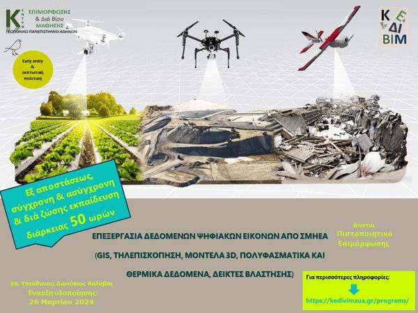
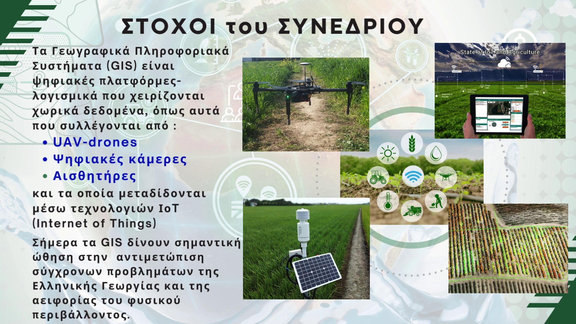
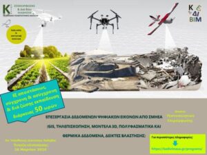 NEW Training Program: Processing of Digital Images from UAVs – DRONE (GIS, Remote Sensing, 3D Models, Multispectral and Thermal Data, Vegetation Indices)
This program is designed and organized by the GIS Research Unit of the Agricultural University of Athens and is implemented by the KEDIVIM of AUA, under the scientific supervision of Professor Dionysis Kalyvas from AUA.
It is aimed at those who wish to gain the necessary knowledge and skills for the effective processing of digital images derived from drone flights.
NEW Training Program: Processing of Digital Images from UAVs – DRONE (GIS, Remote Sensing, 3D Models, Multispectral and Thermal Data, Vegetation Indices)
This program is designed and organized by the GIS Research Unit of the Agricultural University of Athens and is implemented by the KEDIVIM of AUA, under the scientific supervision of Professor Dionysis Kalyvas from AUA.
It is aimed at those who wish to gain the necessary knowledge and skills for the effective processing of digital images derived from drone flights.
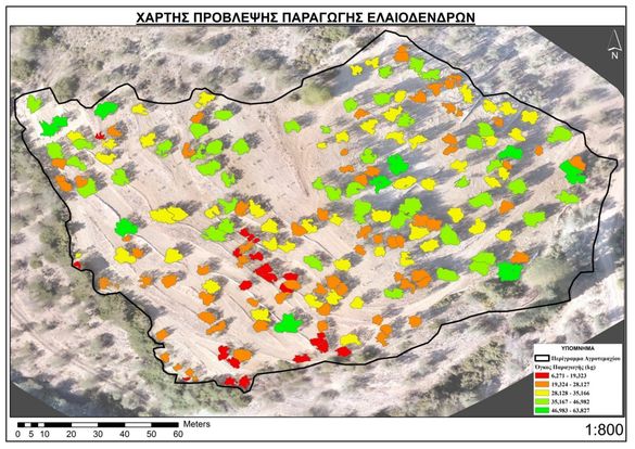
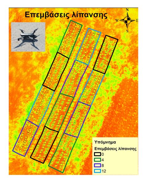
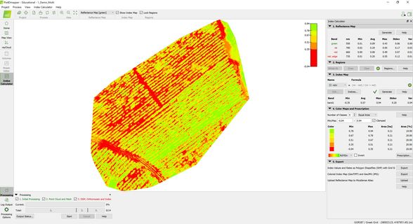
ΠΕΡΙΛΑΜΒΑΝΕΙ ΠΡΑΚΤΙΚΗ ΑΣΚΗΣΗ
⌛Λήξη εγγραφών: 23/03/2024
️Έναρξη προγράμματος: Μάρτιος 2024
ECTS: 2,0
️Διάρκεια: 1 μήνας
Ασύγχρονη εξ’ αποστάσεως, Σύγχρονη εξ’ αποστάσεως, Δια ζώσης.
Detailed Information:
https://kedivimaua.gr/programs/epeksergasia-dedomenon-psifiakon-eikonon-apo-smiea-gis-tilepiskopisi-montela-3d-polyfasmatika-kai-thermika-dedomena-deiktes-vlastisis/