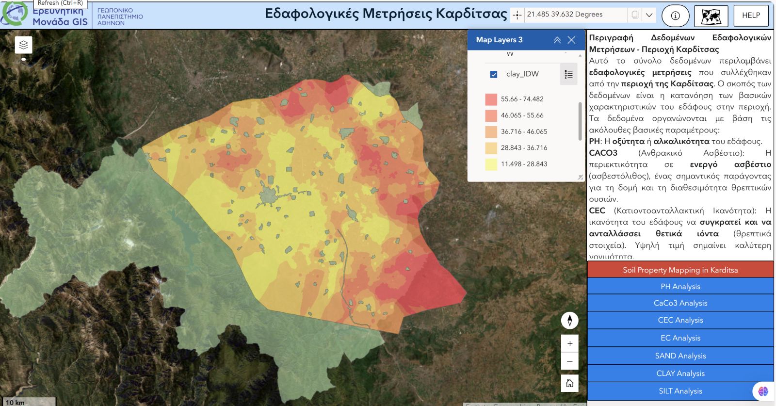
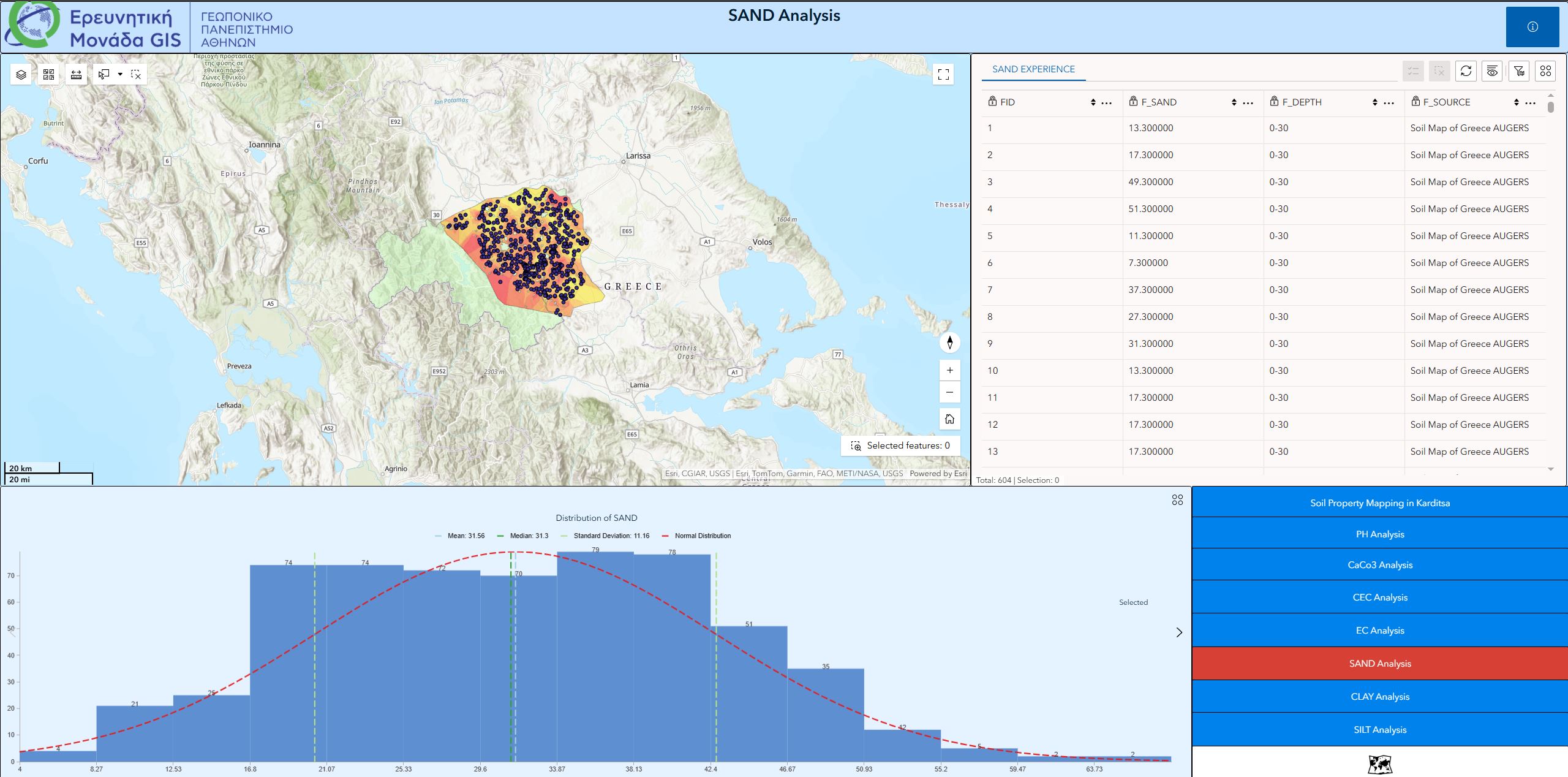
Thousands of soil analyses were carried out within the framework of the Agricultural Advisory Services measure and enrich the soil information of the Karditsa Regional Unit, complementing the Online Geospatial Observatory developed by the GIS Research Unit of the Agricultural University of Athens.
The Soil Observatory of the Karditsa Regional Unit is an original initiative within the framework of the Greek Soil Data Hub, which is currently being developed by the GIS Research Unit.
The presentation of the soil map took place in Karditsa on Friday, February 27 (7:00 p.m., Kierio Hotel), in the presence of farmers, agronomists, and stakeholders, and was organized by the Agricultural Advisory Services Provider
Agrolysis – Farming Solutions and the Special Service for the Implementation of the Rural Development Programme of the Ministry of Rural Development and Food.