GEOINFORMATICS AND DIGITAL GEOSPATIAL TECHNOLOGIES IN AGRICULTURAL PRACTICE AND ENVIRONMENTAL PROTECTION
Geoinformatics and Digital Geospatial Technologies in Agricultural Practice and Environmental Protection
IMPORTANT REMINDER: Registration ends soon
Training Program: "GEOINFORMATICS AND DIGITAL GEOSPATIAL TECHNOLOGIES IN AGRICULTURAL PRACTICE AND ENVIRONMENTAL PROTECTION"
Basic information:
Registration deadline: 29/09/2023
Program start: October 2023
ECTS: 2.8
Duration: 1.5 months
Modes: Asynchronous distance learning, Synchronous distance learning, In-person
Certificate: Certificate of Training
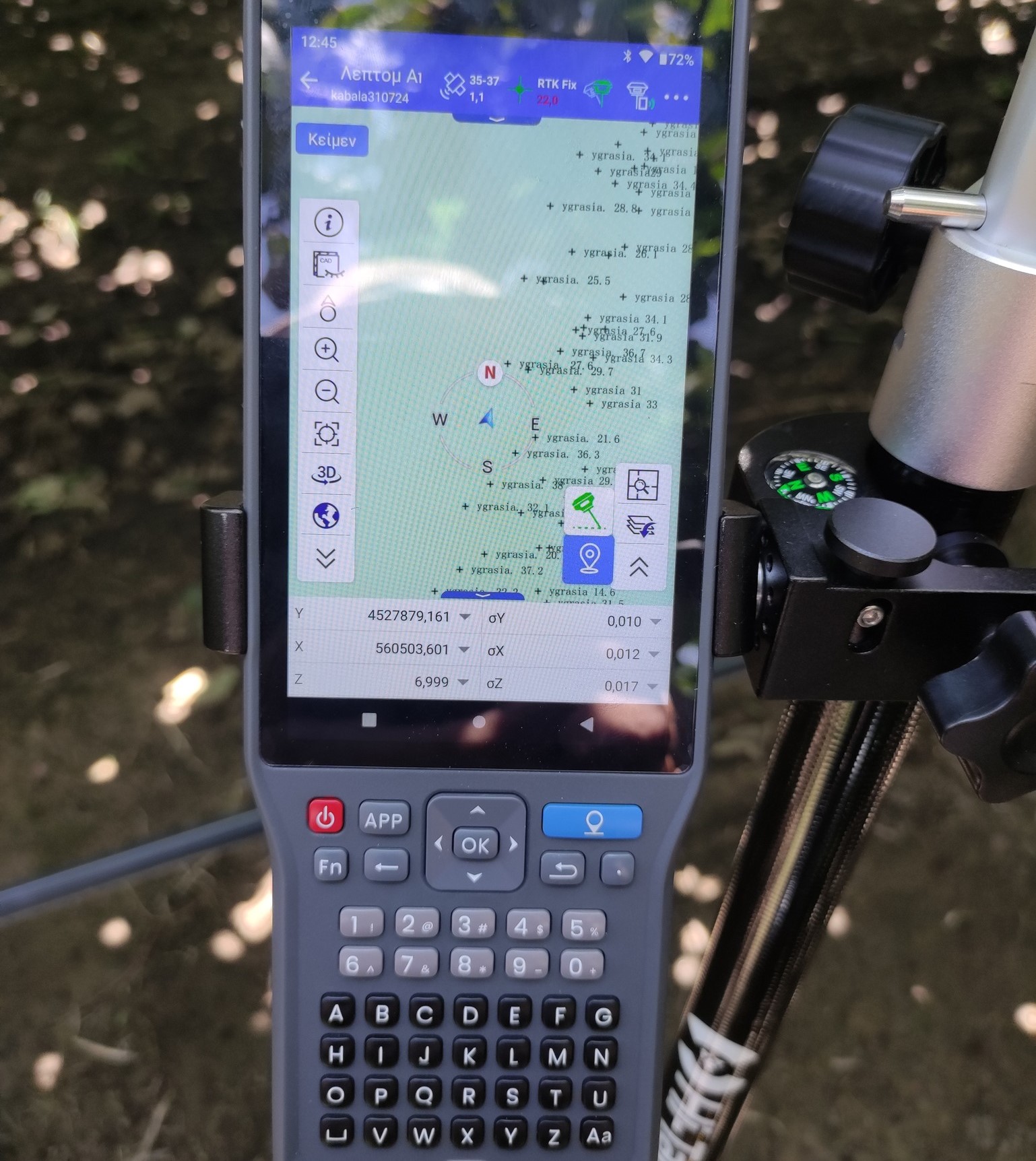
This program provides participants, even those with no prior experience, the opportunity to familiarize themselves with geospatial digital technologies, recording parameters that influence the soil-climate-crop system (soil, climate, and vegetation sensors, recording applications, UAVs – drones) as well as the management and use of the generated digital spatial information (online platforms and geospatial observatories). More Info