Presentation of the Geographic Information Systems (GIS) Research Unit of AUA
Presentation of the Geographic Information Systems (GIS) Research Unit of AUA
The educational and research activities of the GIS Research Unit of the Agricultural University of Athens (AUA) in the field of spatially defined digital agriculture are presented in an article-interview in the AGRICOLA supplement of the newspaper KATHIMERINI, with the Associate Professor, Dr. Dionysios Kalyvas. Since its establishment in 1989, the GIS Research Unit has been involved in Research Programs and works in the development of Geographic Information Systems (GIS) for managing and analyzing agricultural data.
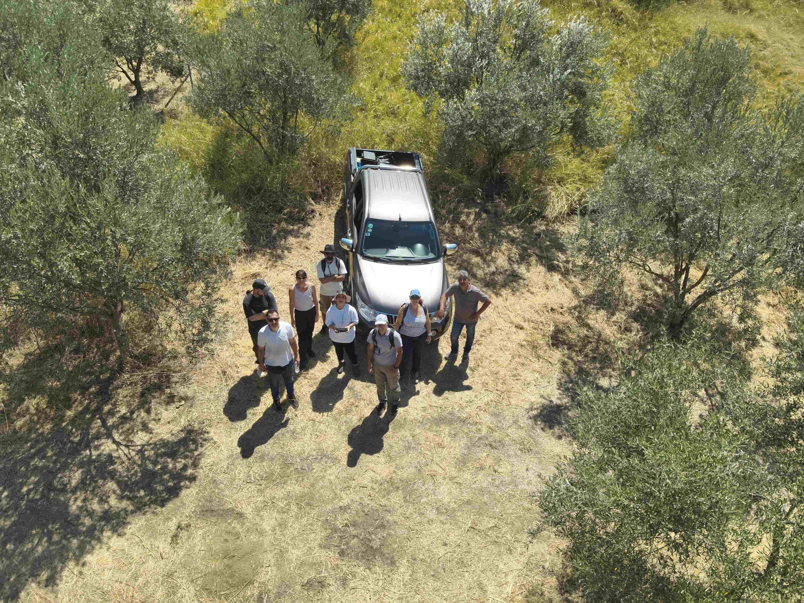
In recent years, equipped with modern machinery (drones, multispectral cameras, ground and aerial sensors) and spatial information processing software, the unit has been carrying out a series of modular research projects. The article presents results from integrated approaches using geospatial technologies in agriculture, such as detecting spatial changes and digital mapping of the phytosanitary status (diseases, degree of infestation), nutrition, and generally fertility and development problems with the application of spatially differentiated fertilization, as well as cartographic modeling of the maturity level of a crop's production.
The article also highlights the current trends in the field of Digital Agriculture.