GIS aua

Schinos, Corinth - Burned Area Assessment


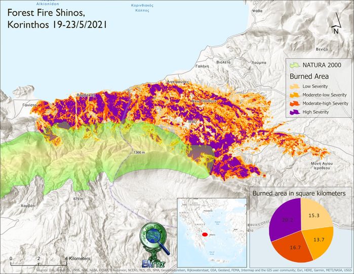
The fire (19-21/5/2021) in Schinos, Corinth, burned 65,900 hectares according to the calculations of the GIS Research Unit of the Agricultural University of Athens.
The calculations were based on Sentinel-2 satellite images. By calculating the dNBR (difference Normalized Burn Ratio) index and applying the methodology of the U.S. Geological Survey, a "burn severity map" was created. This map allows for the spatial estimation of not only the severity of the damage but also the potential future risks of flooding, landslides, and soil erosion.

More news

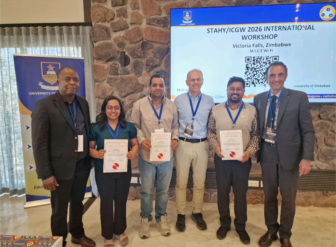
Participation in the 15th International Workshop on Statistical Hydrology and Ground Water (STAHY-ICGW 2026)
Διαβάστε Περισσότερα
New Operational Surface Soil Moisture Estimation Service Developed by the GIS Research Unit of the Agricultural University of Athens under the National Microsatellites Programme
Διαβάστε Περισσότερα
2nd Participatory Workshop of the Path4Med Research Project
Διαβάστε Περισσότερα
Post-Event Press Release
Διαβάστε Περισσότερα
Free 3 Day Worskhop
Διαβάστε Περισσότερα
Participation in Agrotica 2026
Διαβάστε Περισσότερα
Online Geospatial Observatory of Soil Information
Διαβάστε Περισσότερα
Best Thesis Competition
Διαβάστε Περισσότερα