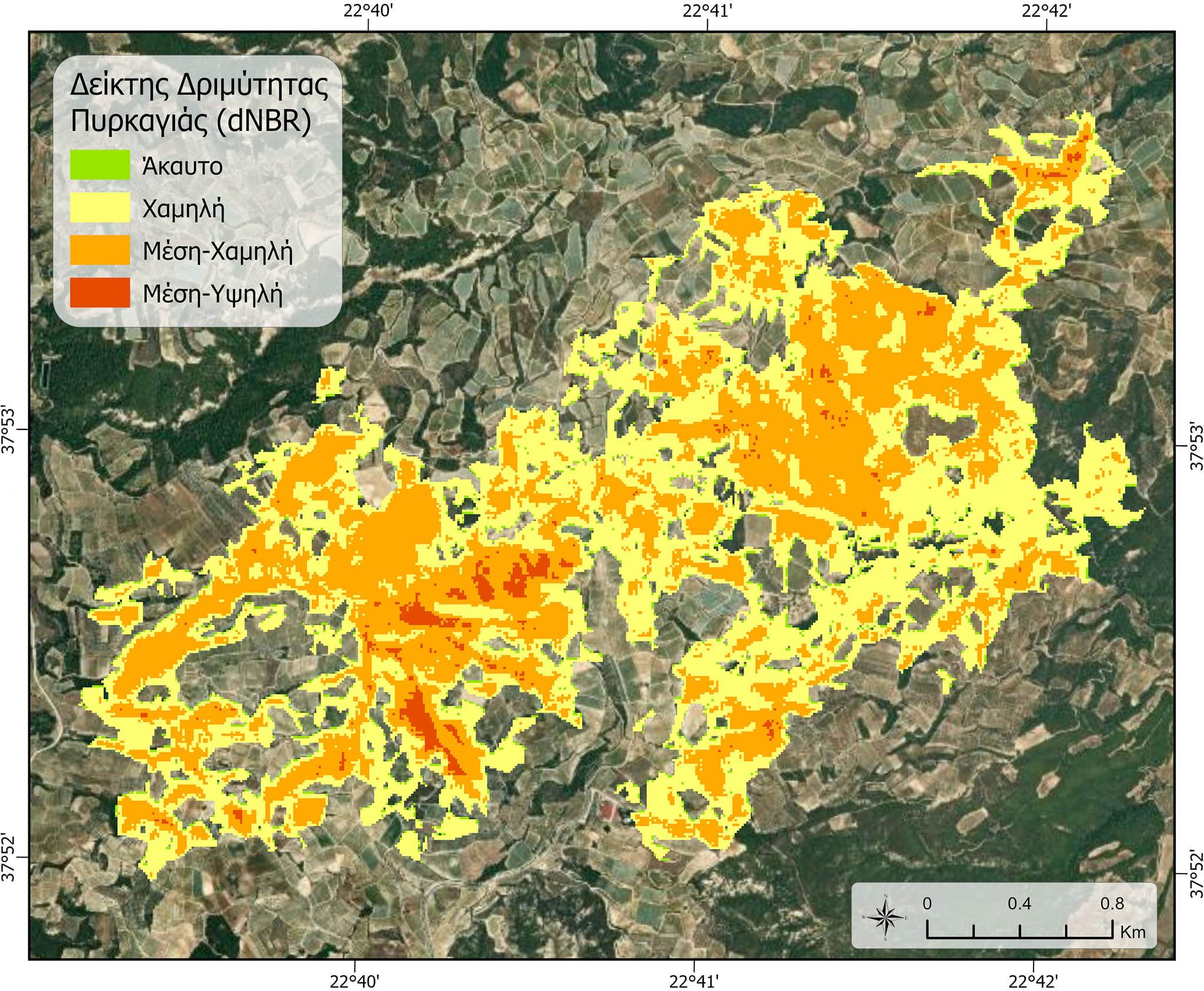
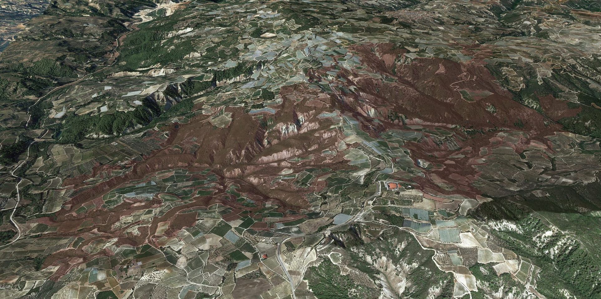
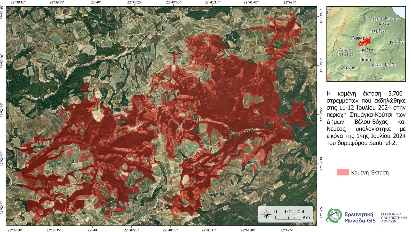
Satellite image processing for estimating the burned area of the fire in the Nemea region on 11/07/2024.
Initial satellite estimates for the burned area from the fire in the Nemea region.
First satellite estimates for the burned area from the fire that occurred on July 11th and 12th, 2024, in the Nemea region.
A satellite image (Sentinel-2) taken on the afternoon of July 13th, 2024, was used, and the data processing was carried out by members of the GIS Research Unit of the Agricultural University of Athens (GPA).