GIS aua

Drone Flight Training in the Field – Larissa

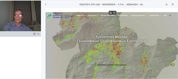
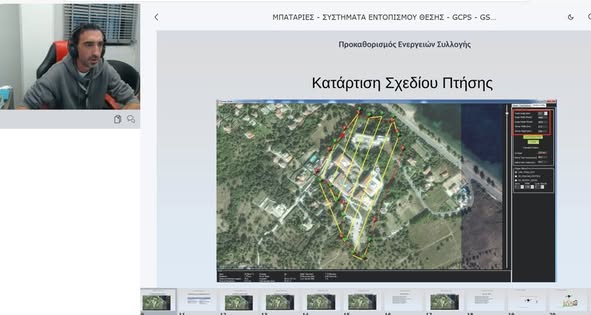
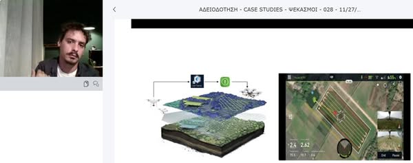
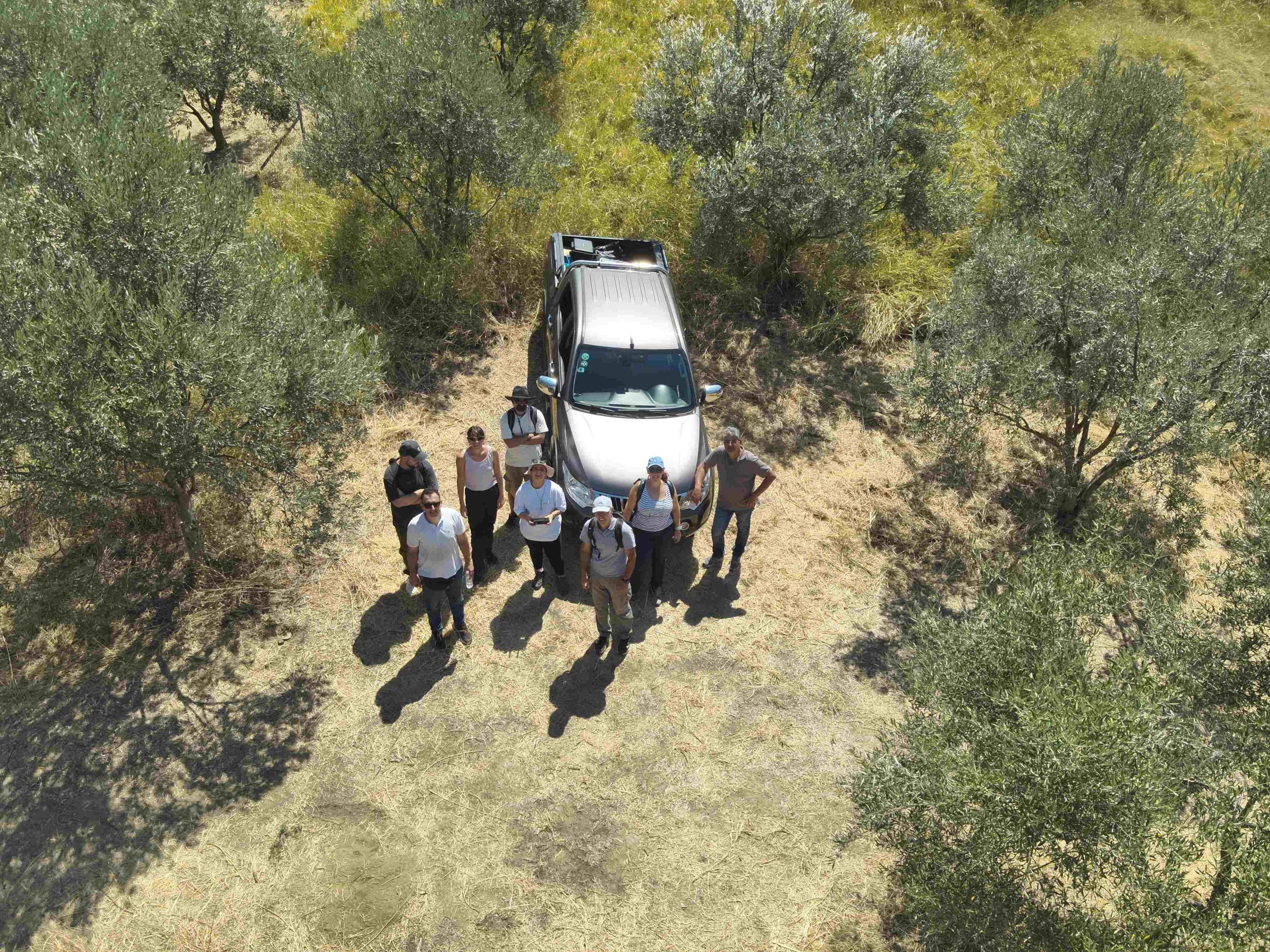
Larissa, December 3, 2024 – A hands-on drone flight training session took place in the field as part of the certification program “Basic Training for Drone Operators – Acquisition of A1/A2/A3 License, Cycle B”, organized by the GIS Research Unit of the Agricultural University of Athens in collaboration with the Center for Training & Lifelong Learning (KEDIVIM).
The program, led by Professor Dionysios Kalyvas, provides practical training in digital geospatial methods and drone operations, following the completion of an online training module that lasted one week.

 

More news

Η Ερευνητική Μονάδα GIS του Γεωπονικού Πανεπιστημίου Αθηνών αναπτύσσει το Ελληνικό Soil Data Hub
Διαβάστε Περισσότερα
Ψηφιοποίηση εδαφολογικών μελετών περιοχών εντός των διοικητικών ορίων της Περιφέρειας Πελοποννήσου
Διαβάστε Περισσότερα
Participation in the 15th International Workshop on Statistical Hydrology and Ground Water (STAHY-ICGW 2026)
Διαβάστε Περισσότερα
I-TexGEO: Έξυπνο έδαφος για τη γεωργία του αύριο - Νέο πρόγραμμα HORIZON
Διαβάστε Περισσότερα
New Operational Surface Soil Moisture Estimation Service Developed by the GIS Research Unit of the Agricultural University of Athens under the National Microsatellites Programme
Διαβάστε Περισσότερα
2nd Participatory Workshop of the Path4Med Research Project
Διαβάστε Περισσότερα
Post-Event Press Release
Διαβάστε Περισσότερα
Free 3 Day Worskhop
Διαβάστε Περισσότερα