The GIS Research Unit of the Agricultural University of Athens (AUA) has successfully completed its contribution to Axis 3 of the National Microsatellites Programme, implemented under the supervision of the Greek Ministry of Digital Governance and the European Space Agency (ESA).
The programme focuses on the development of innovative Earth Observation (EO) services designed to support key sectors of the economy and society, including agriculture, environmental protection, and natural resource management.
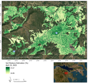
Surface Soil Moisture Estimation Service
As part of the programme, the GIS Research Unit developed one of its core operational services for the estimation of surface soil moisture. This information is a valuable tool for agricultural management, supporting more efficient irrigation practices, crop monitoring, and improved assessment of soil conditions. The developed methodology combines multiple data sources, including:
Η αναπτυγμένη μεθοδολογία βασίζεται στον συνδυασμό πολλαπλών πηγών δεδομένων, αξιοποιώντας:
- Satellite radar and optical sensor data,
- In-situ soil moisture measurements collected through a monitoring station network,
- Advanced spatial analysis techniques that enable the transfer of point-based observations into continuous spatial information.
This integrated approach enables the production of high-resolution and reliable surface soil moisture maps, suitable for operational applications and decision-making processes.
Methodology Development and Validation
Throughout the project, particular emphasis was placed on:
- Designing and optimising the spatial distribution of the soil moisture monitoring network,
- Collecting and integrating field observations,
- Calibrating and validating the soil moisture estimation models,
- Producing reliable, large-scale surface soil moisture maps.
The resulting methodology effectively transforms large volumes of satellite and in-situ observations into actionable information for farmers, researchers, and public authorities.
Successful Project Completion
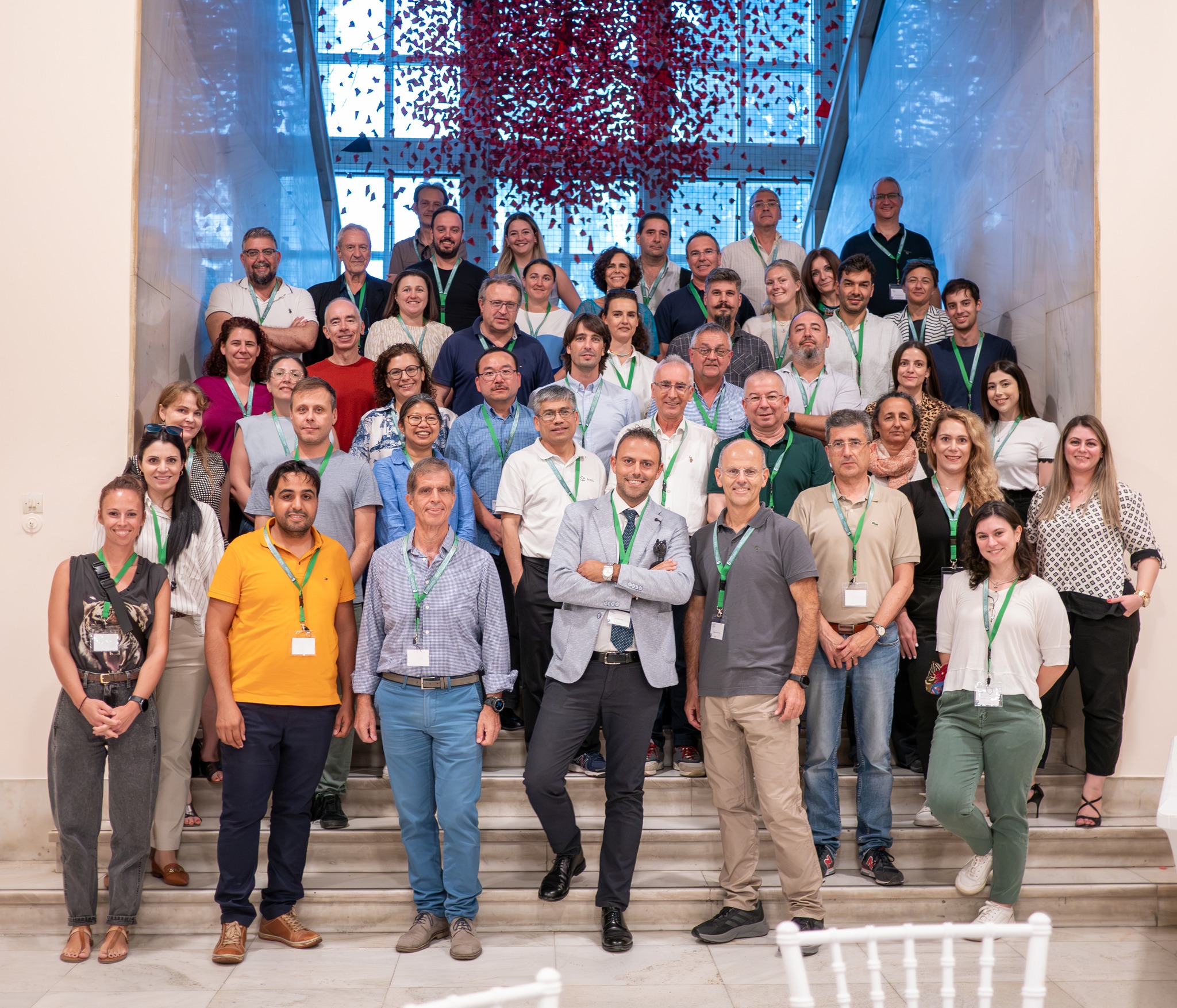
The project's final review meeting took place on 18–19 June 2026 at the premises of AgroApps in Thessaloniki, marking the successful completion of the project.
The meeting was attended by representatives of the European Space Agency (ESA), the Greek Ministry of Digital Governance, and the project partners, including EOFARM, TotalView, and Cloud Signals.
During the meeting, the consortium presented the operational services developed under Axis 3, highlighting their applications in agriculture and their potential for deployment in real-world operational environments.
The Contribution of the GIS Research Unit
The participation of the GIS Research Unit of the Agricultural University of Athens in the National Microsatellites Programme highlights its active role in the development of innovative geospatial applications based on Earth Observation data and advanced spatial analysis methodologies.
The development of the Surface Soil Moisture Estimation Service represents another significant step in bridging scientific research with practical applications, contributing to sustainable agriculture, efficient natural resource management, and the digital transformation of the agricultural sector.