Geoinformatics and Digital Geospatial Technologies in Agriculture and Environmental Protection – 3rd Cycle
Geoinformatics and Digital Geospatial Technologies in Agriculture and Environmental Protection – 3rd Cycle
Learn everything about Geoinformatics and digital geospatial technologies through a specialized remote training program, offered by the Lifelong Learning Center (KEDIVIM) of the Agricultural University of Athens, in collaboration with the GIS Research Unit.
What you’ll learn:
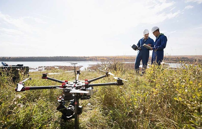
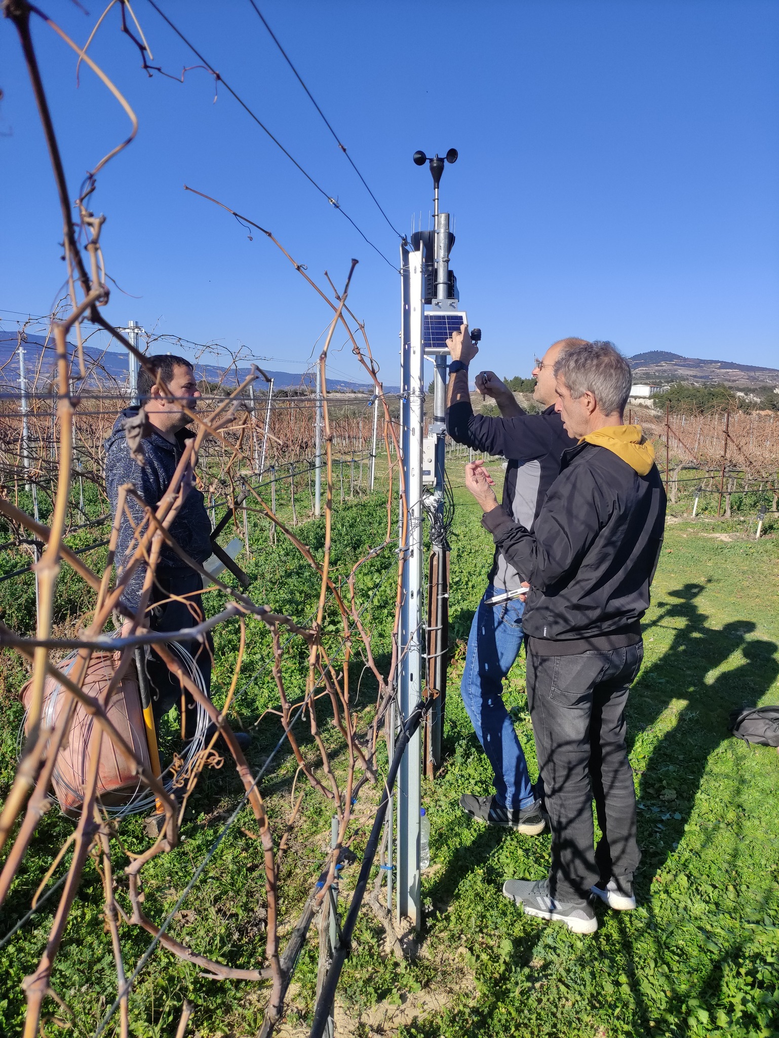
How to collect data from the field (sensors, drones, mobile apps)
How to manage and analyze geospatial data (GIS)
How to monitor crop growth and development
How to apply technology for smart farming and sustainable natural resource management
No prior experience required – perfect for beginners!
Ideal for agronomists, environmental scientists, foresters, geologists, and anyone interested in the field.
100% Remote Learning (both live and self-paced sessions)