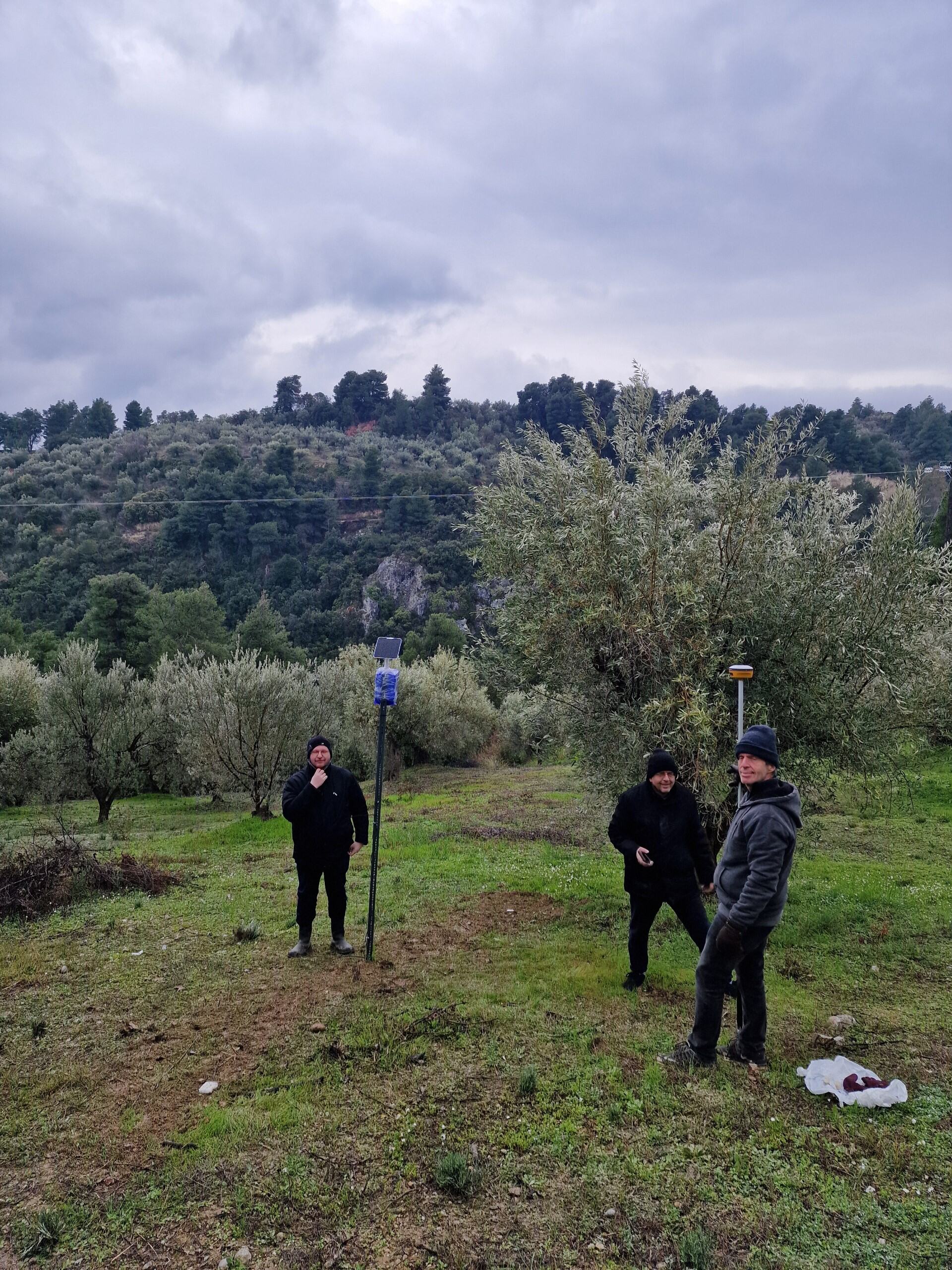
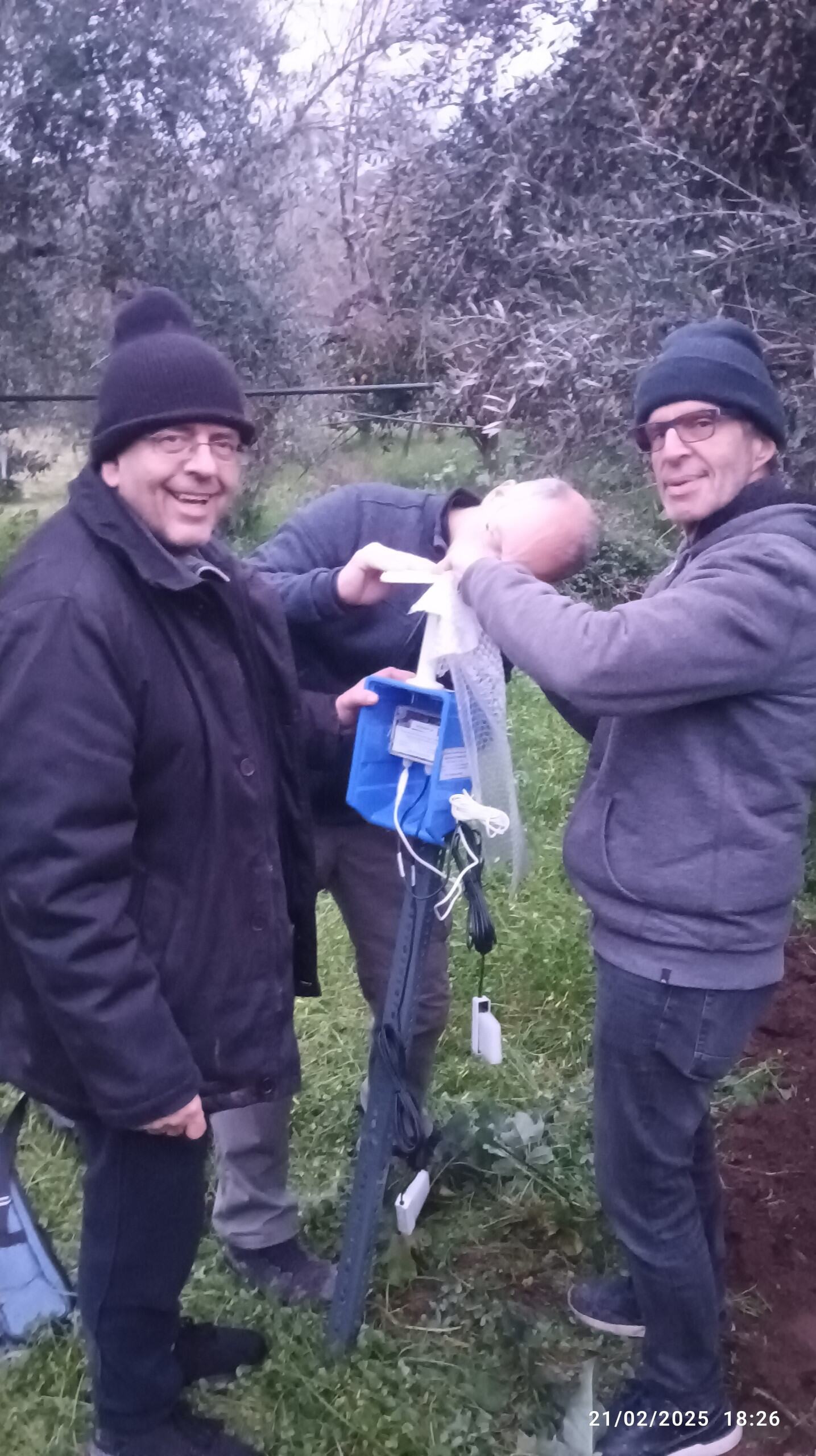
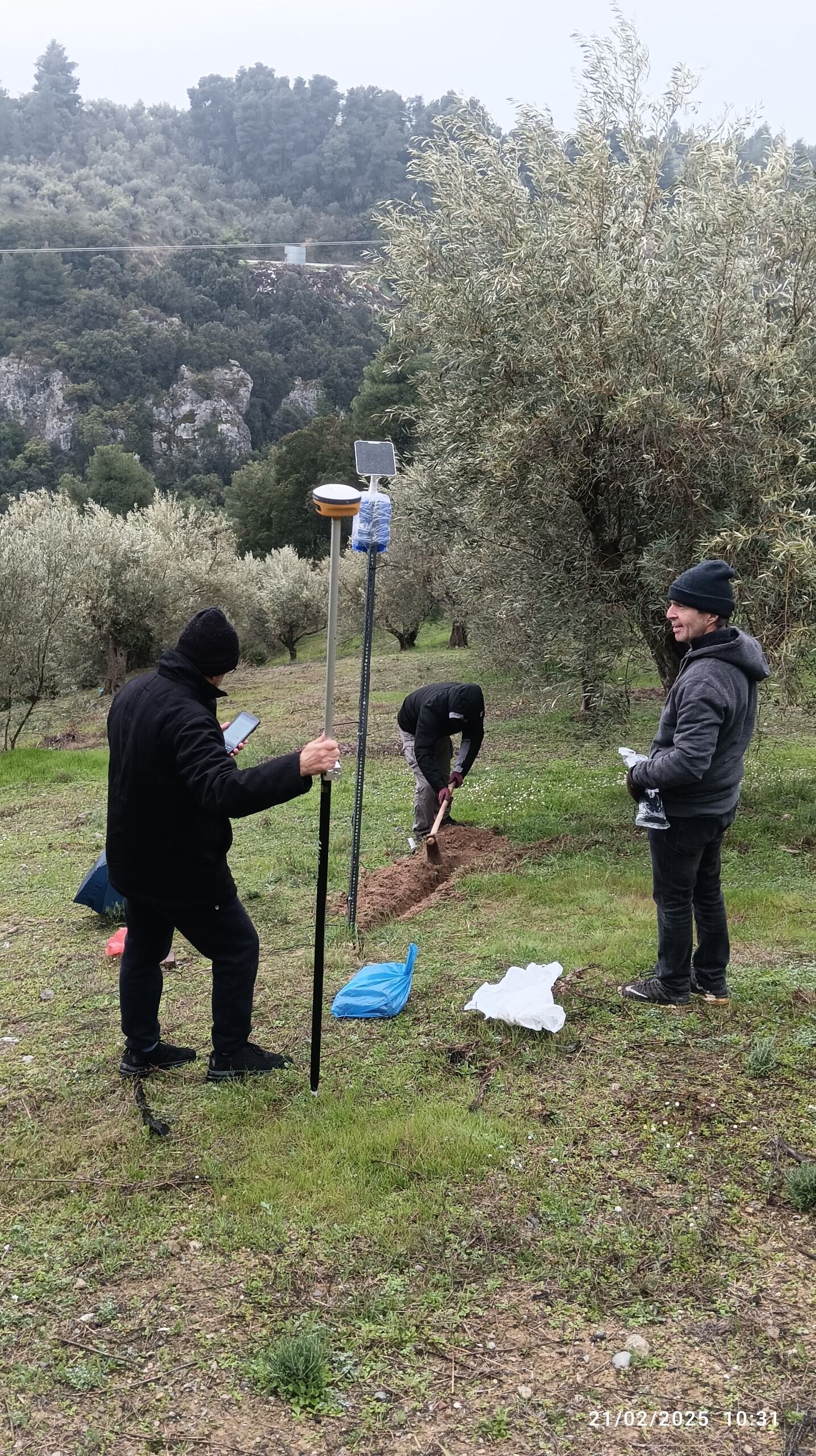
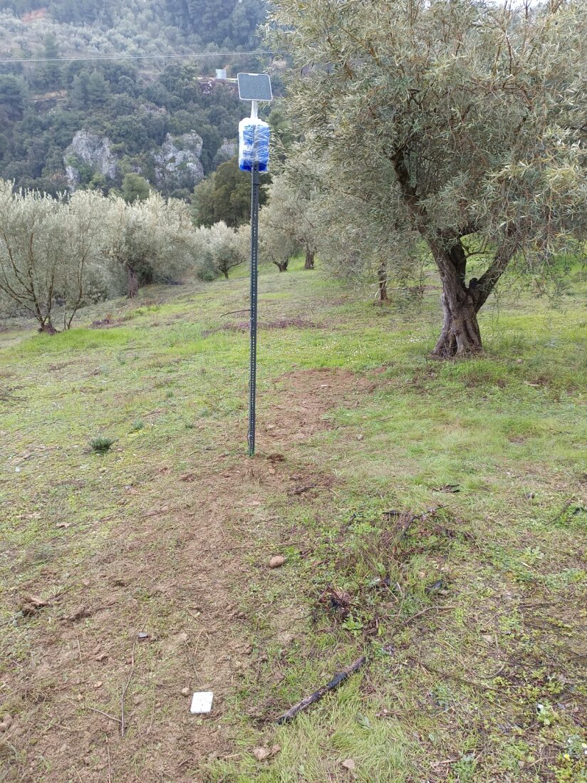
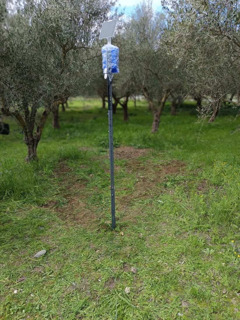
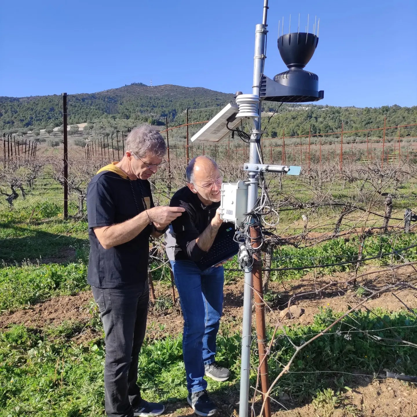
As part of the AgroHub program for developing geospatial services for agriculture, a nationwide network of soil moisture sensors is being deployed. This initiative is led by Agroapps PC, Space Hellas, TotalView, EOFARM, Cloud Signals, and the GIS Research Unit of the Agricultural University of Athens.The network consists of dozens of sensors measuring soil moisture, electrical conductivity, and temperature across Greece.
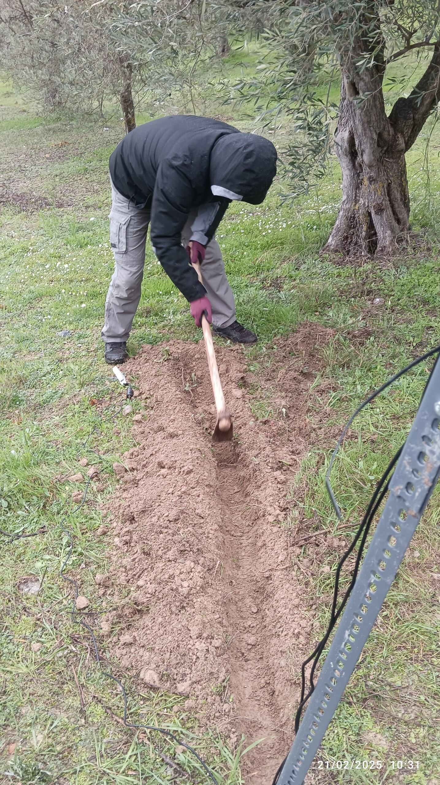
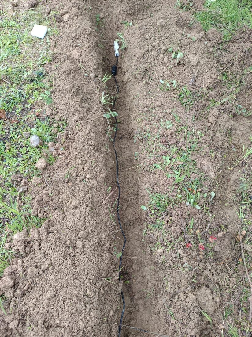
The GIS Research Unit (D. Kalyvas, K. Soulis, St. Gerontidis, V. Dosiadis, Ch. Moustakakis) used a GIS-based multi-criteria methodology to identify optimal sensor locations, define necessary equipment specifications, and assemble the hardware. The installation of the IoT sensor network has already begun, starting in central and southern Peloponnese.
The collected data is combined with remote sensing data and machine learning techniques to develop a soil moisture estimation service for agricultural crops, enhancing precision farming and sustainability.
.