Research Unit
Geographical Information System
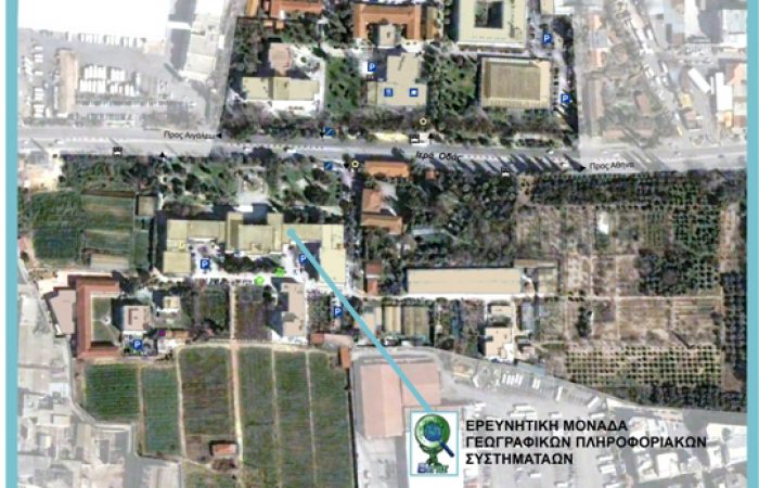
Welcome to the new website of the Geographic Information Systems Research Unit at the Agricultural University of Athens (AUA). The Research Unit was established in 1989, and since 2007, it has had its own facilities, fully equipped with software and hardware. Its research activities are governed by the rules of academic ethics and management oversight of the Research Committee of AUA.
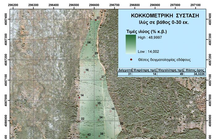
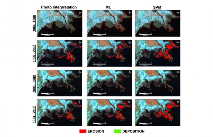
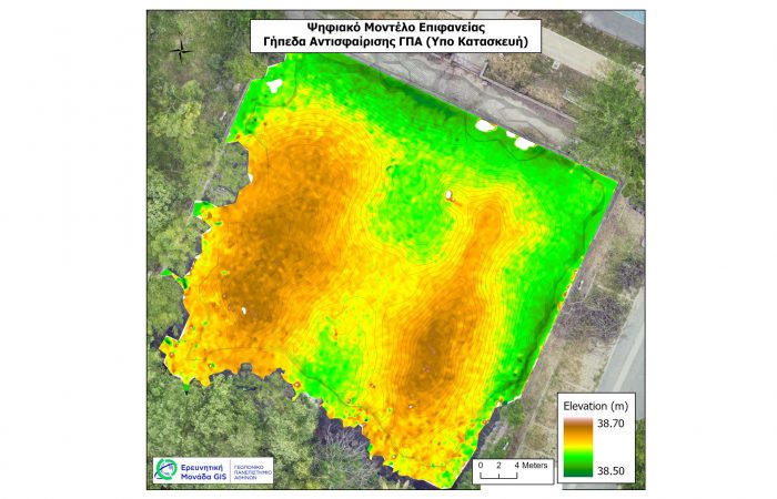
The GIS Research Unit has a rich educational and research activity in theoretical topics of Geoinformatics, Spatial Analysis, and Geospatial Technologies, as well as in many application areas such as mapping and assessing soils and natural resources, environmental studies, hydroinformatics, precision agriculture, and smart farming.
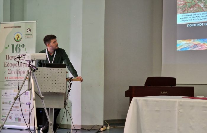
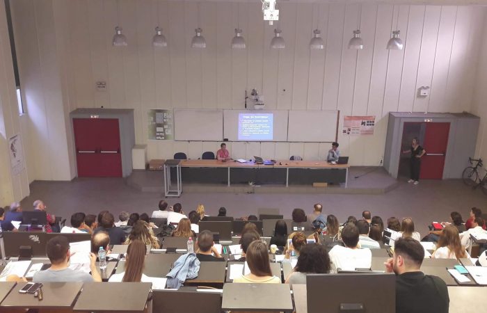
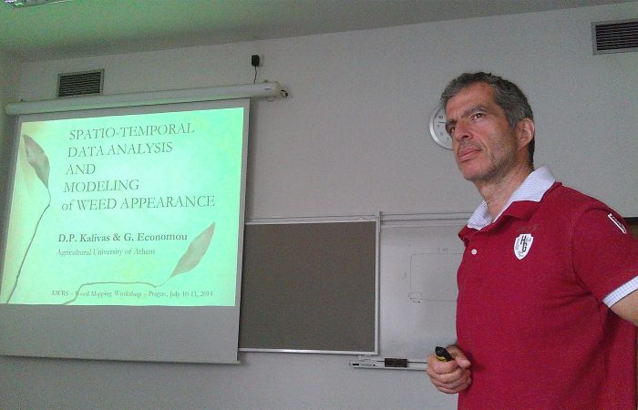
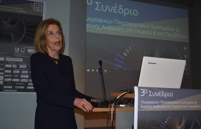
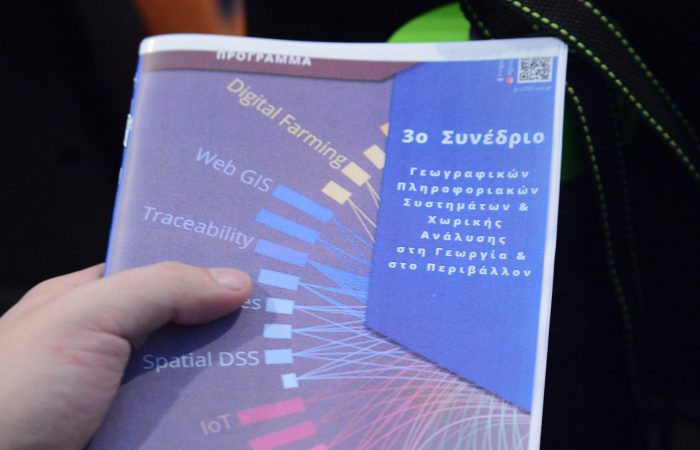
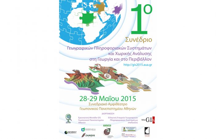
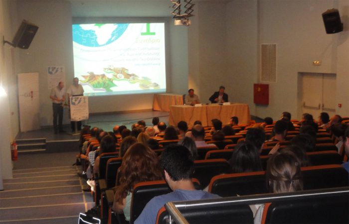
It organizes the national Conferences on Geographic Information Systems and Spatial Analysis in Agriculture and the Environment, while also providing educational and research support to the Master's program of the Department of Natural Resources Development and Agricultural Engineering: "Geoinformatics and Spatial Analysis.".
We invite you to explore the new website, which presents the research programs and studies that have been developed, the published scientific work of its members, as well as all its activities.
Dionissios Kalivas
Professor, AUA
UNIT IDENTITY
Geospatial Intelligence and Geospatial Technologies
- 40 research programs and studies
- 12 educational programs
- 150 graduates of the Master's Program in Geoinformatics and Spatial Analysis
- 17 doctoral and 65 master's theses
- 5 Congresses - 5 Conferences
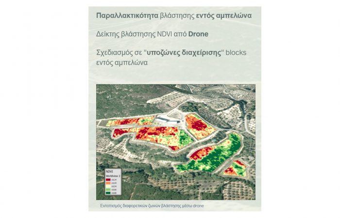
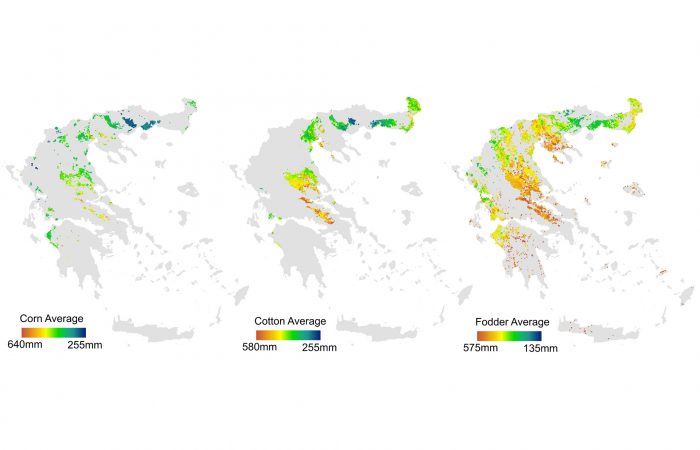
- Spatial and chronicle Defined Agriculture-Livestock-Fishing
- Management and Evaluation of Land Resources
- Environmental Studies and the Built Environment
- Digital Twins
Our activities
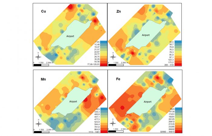
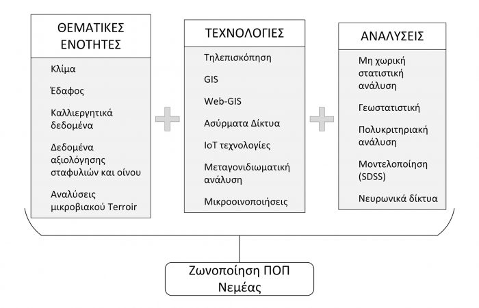
Our activities in GIS science include the use and development of GIS software, the collection of geospatial data recorded in GIS, spatial processing, spatial statistics, and geostatistical analysis of these data, as well as internet technologies for the development and presentation of geospatial applications.

Our human resources and equipment contribute to the achievement of our activities.
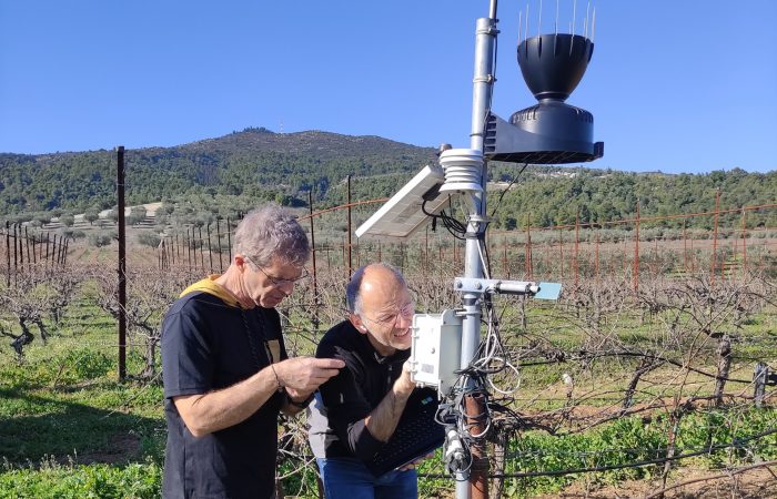
- Fieldwork
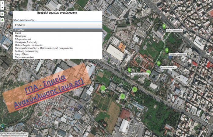
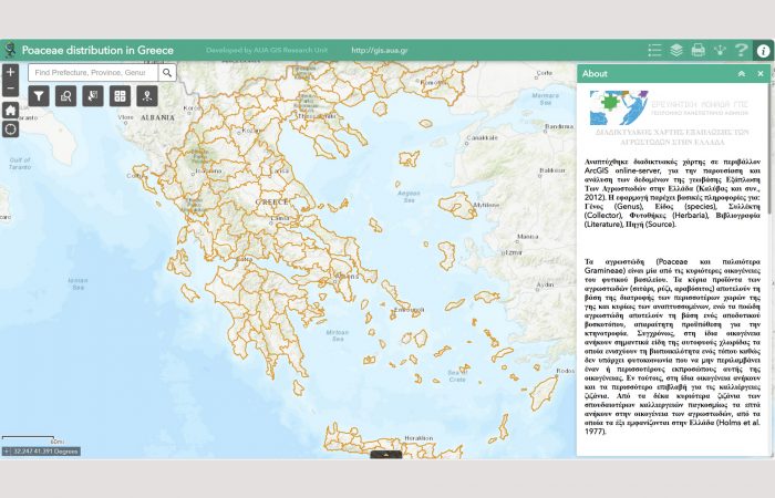
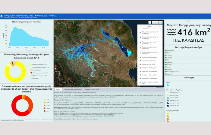
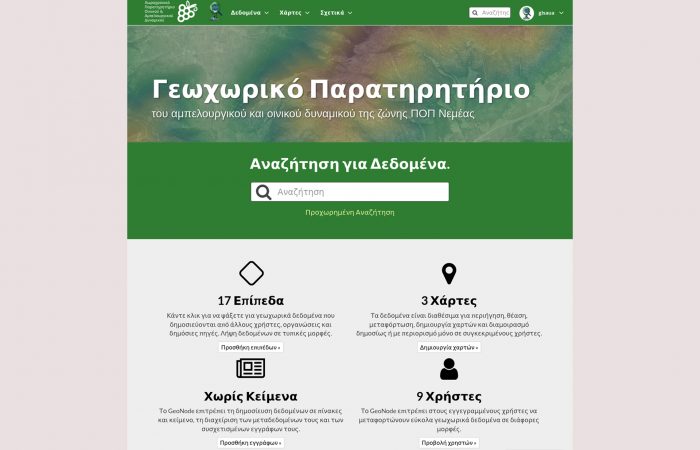
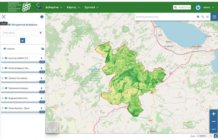
- WebGIS applications
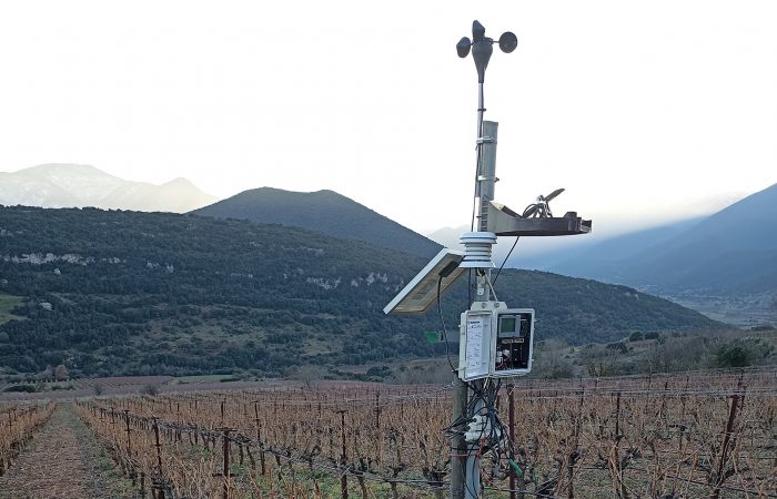
Internet of Things
(IoT)
- SMIEA
- Satellites
Geobases
- Spatial Analysis
- Geostatistics
Development & Projection
Geospatial Applications

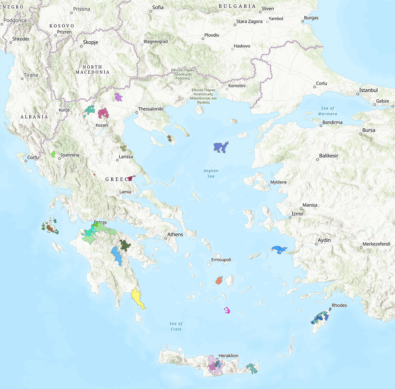
Our footprint
40 years of GIS at AUA
Geographic Information Systems began their presence at the Agricultural University of Athens in the early 1980s with the introduction of Soil Information Systems by then-Lecturer Mrs. Vasiliki Kollia-Kousouri in the subjects of the Soil Science and Agricultural Chemistry Laboratory. Subsequently, Geographic Information Systems were incorporated into the educational curriculum of the Agricultural University in most of its departments and were utilized in many research areas related to primary production and environmental sciences. Essentially, the Agricultural University is one of the first higher education institutions in the country to integrate Geographic Information Systems into education and research.
In its 35 years of presence, the staff (a total of 25 individuals) of the Geographic Information Systems (GIS) Research Unit at the Agricultural University of Athens has implemented 45 research and educational programs, while 12 programs are currently ongoing. It has also offered postgraduate courses in 6 master's degree programs at the university, supported the completion of 65 master's theses, and contributed to the implementation of 17 doctoral dissertations.
Programs in progress
Programs Completed
Researchers and Collaborators
Publications
