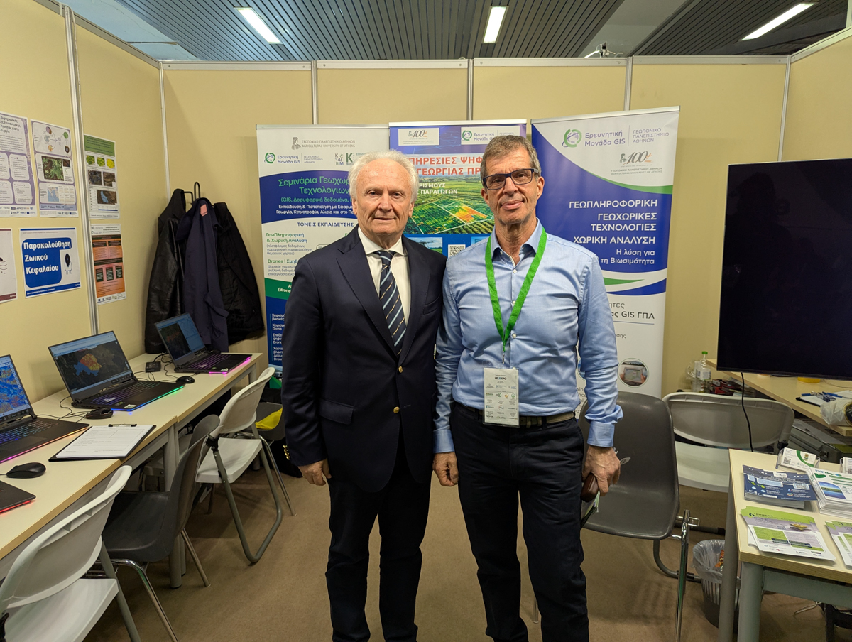
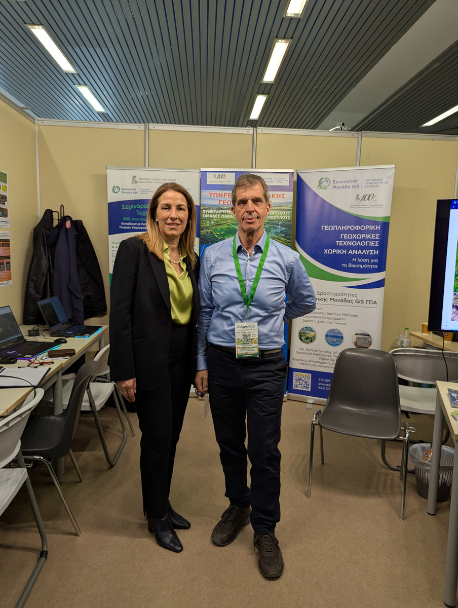
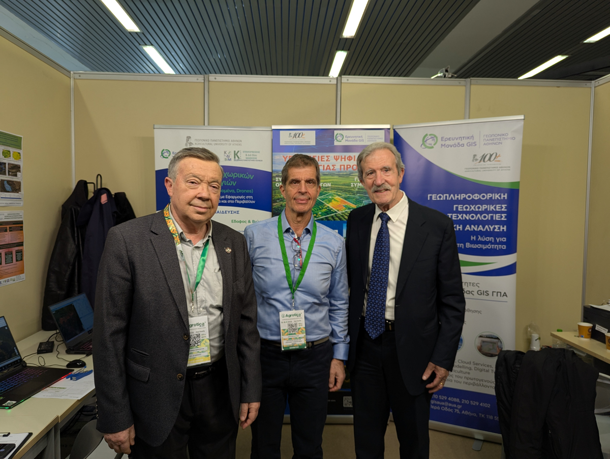
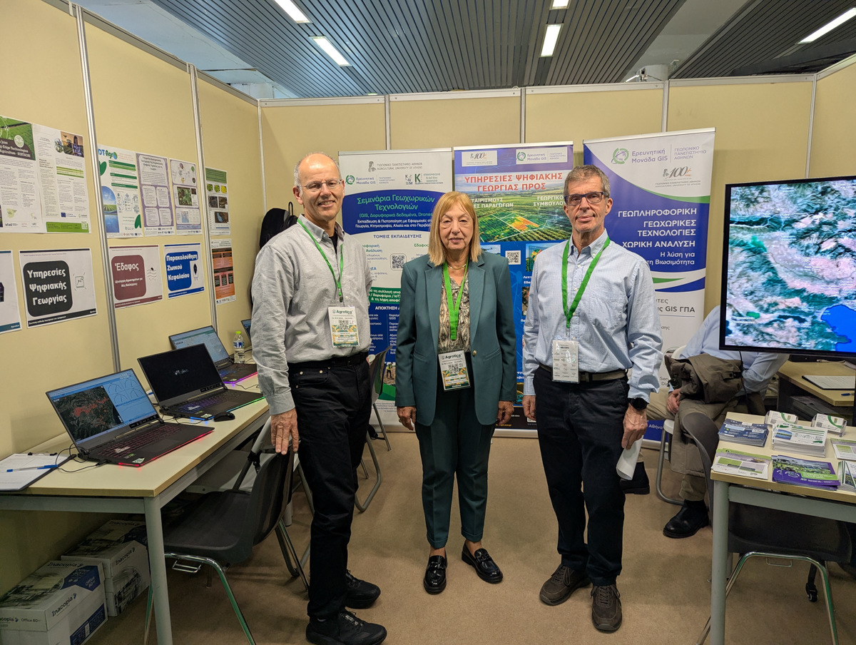
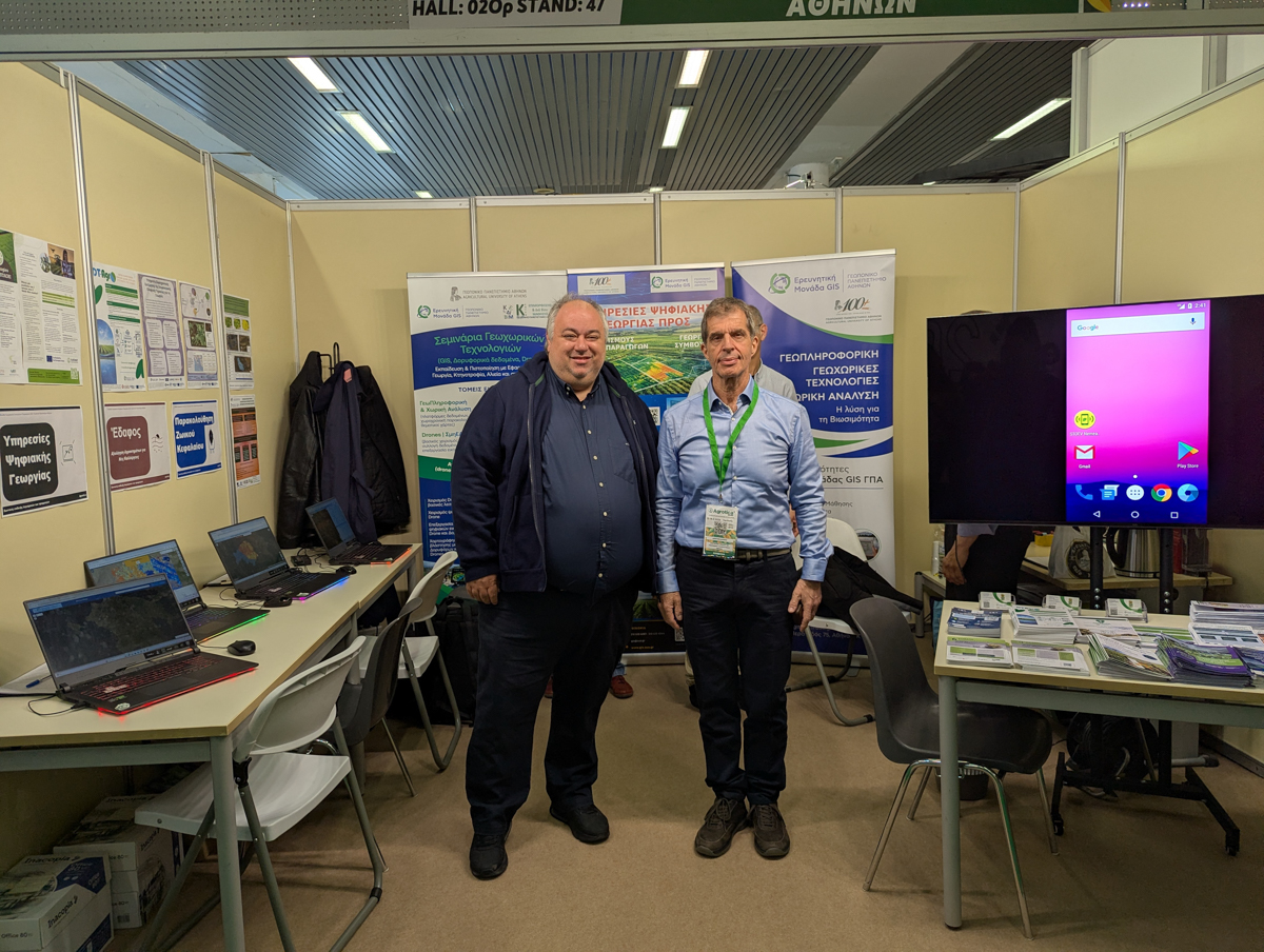
The GIS Research Unit of the Agricultural University of Athens (AUA) actively participated, with its own booth, in the Agrotica 2026 exhibition in Thessaloniki, marking its first presence at one of the most important institutions for the agricultural sector in Greece.
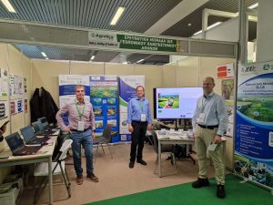
At the GIS Research Unit’s booth, all its activities were presented, including:
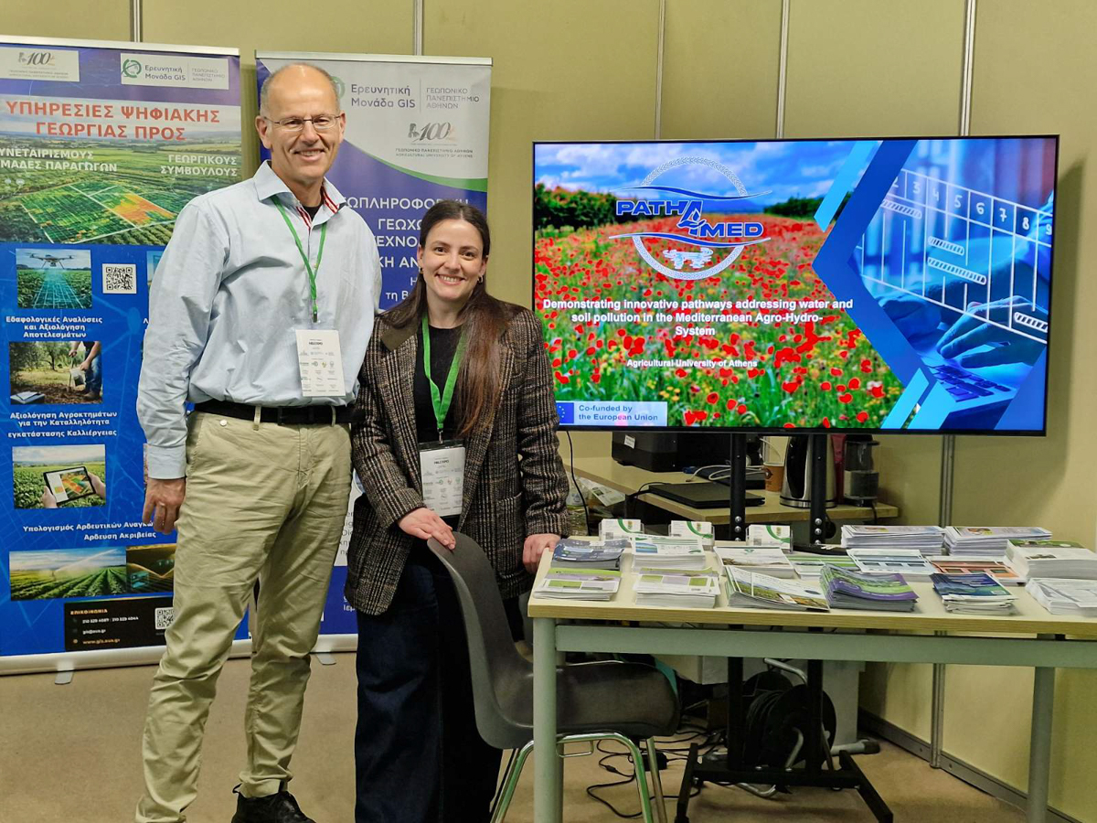
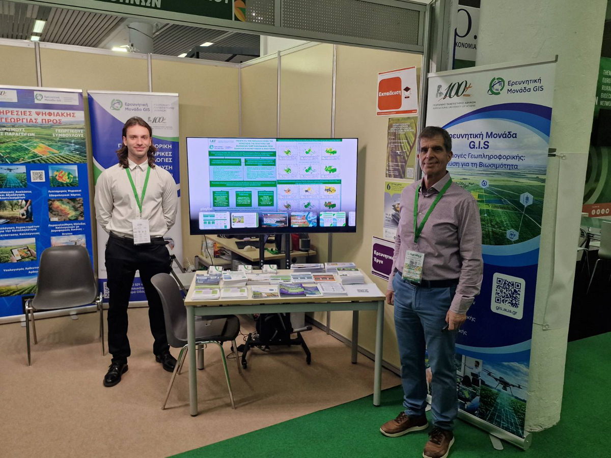
Research, with a brief presentation of the results of European and national programs, as well as projects commissioned by cooperatives and private entities
Educational activities at the postgraduate level, with particular emphasis on the training seminars organized through the Lifelong Learning Center (KEDIVIM) of AUA
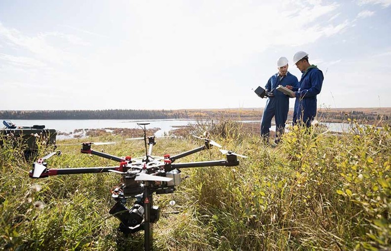
The development of practical and user-friendly web applications for long-term monitoring—through maps—of soil and water conditions, crop development, and livestock grazing
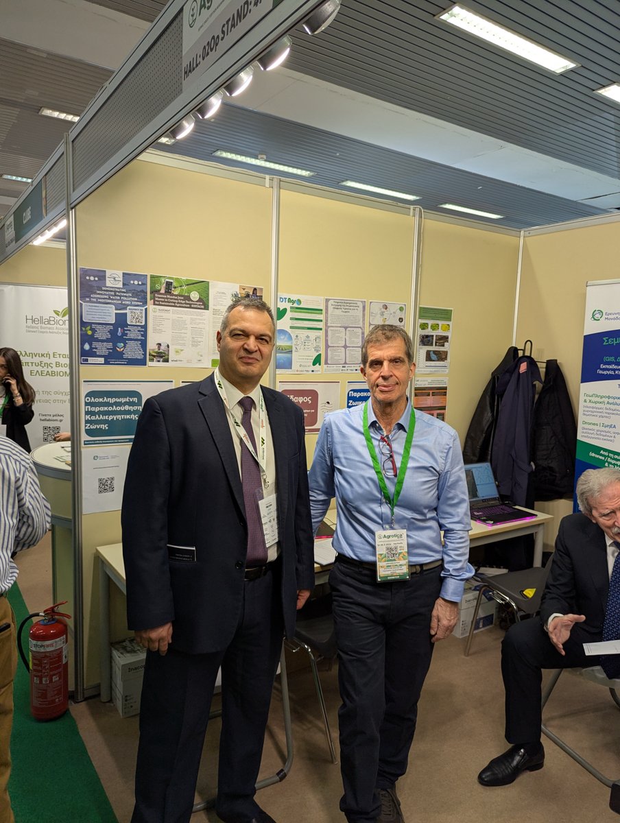
Throughout the event, the Unit’s staff engaged directly with a large number of professionals (producers, agricultural advisors, agronomists, and business representatives), who visited the booth and discussed the potential uses of geospatial technologies.
Visitors showed particular interest in the Web GIS Apps Web GIS Apps , which will soon be presented online.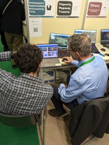
The exchange of knowledge and experience highlighted critical issues in the agricultural sector, while also laying the groundwork for the development of new solutions that respond to market needs. The Research Unit GIS places special emphasis on transforming identified challenges into innovative, practical solutions by leveraging the capabilities of Geographic Information Systems and Spatial Analysis.
Of particular importance was also the promotion of the 6th Conference on Geographic Information Systems in Agriculture and the Environment (May 19–21, 2026), through direct in-person communication with researchers, members of the academic community, and representatives of businesses in the sector.
The interest expressed in participating in the Conference confirms its strong momentum and the growing need for dialogue, collaboration, and knowledge exchange around the applications of geospatial technologies in the agricultural and environmental sectors.
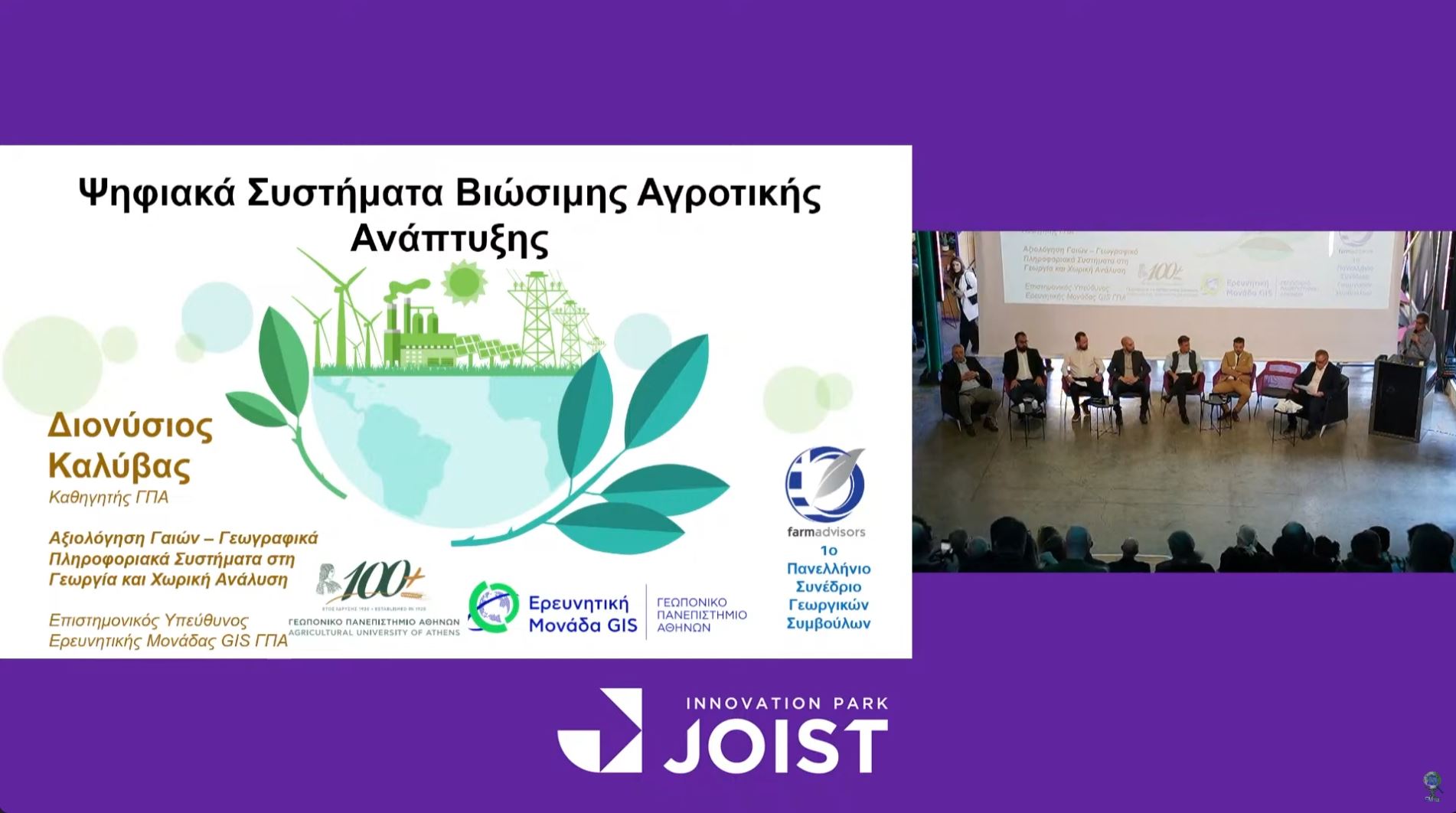
A highlight of the participation was the presence of the Professor and Scientific Coordinator of the Unit, Mr. D. Kalyvas, on Saturday, March 14, in the πάνελ συζήτησης του Agrenda Studio discussion panel of the Agrenda Studio titled “Act Digitally, Operate Economically.”. His contribution supported the public dialogue on the role of digital technologies in improving the efficiency and sustainability of agricultural production.
Participation in Agrotica 2026 marked the creation of new channels of communication and collaboration with organizations and professionals in the sector, strengthening the connection between the scientific community and the market.
The GIS Research Unit continues its activities dynamically, investing in education, innovation, and the development of solutions that utilize Geographic Information Systems and spatial analysis, aiming to substantially support the primary sector and the environment.