Crop Monitoring in the Spercheios River Basin within the Path4Med Framework
Crop Monitoring in the Spercheios River Basin within the Path4Med Framework
As part of the European program 𝗣𝗮𝘁𝗵𝟰𝗠𝗲𝗱 coordinated by the GIS Research Unit of AUA, a series of actions were carried out to study and monitor crops in the Spercheios River basin. This time, the study area was Palaiovracha in the region of Fthiotida.
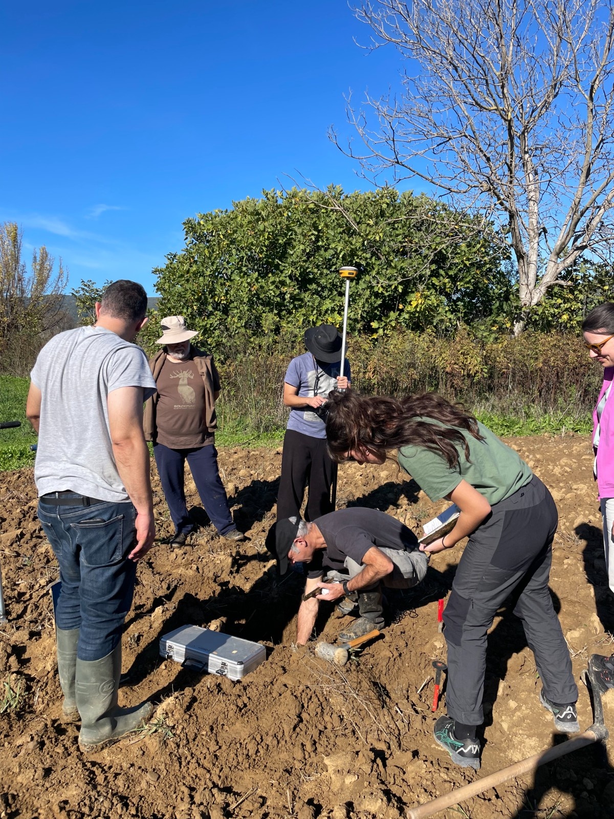
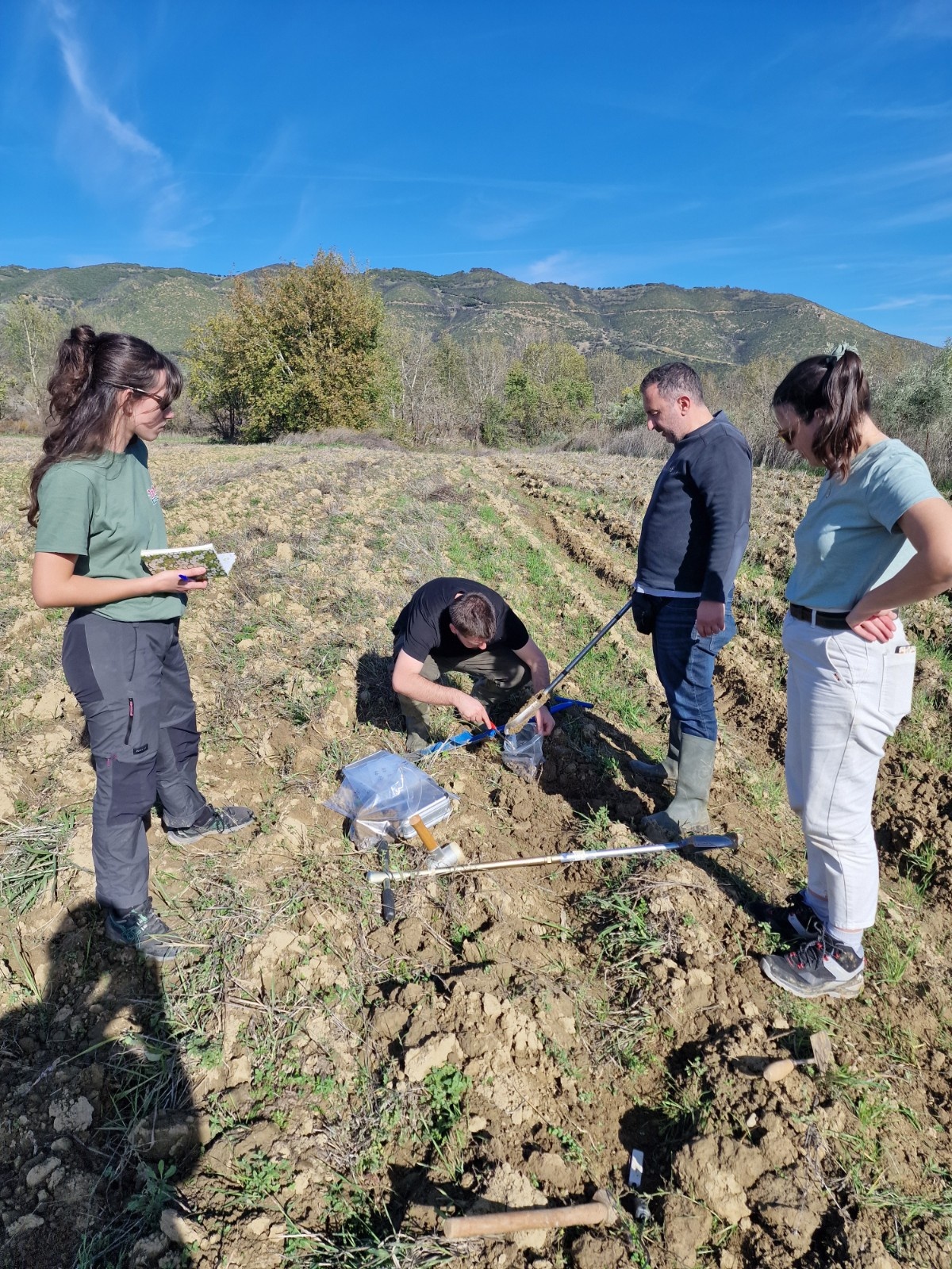
More specifically, on 13/11, members of the Research Unit conducted the following activities:
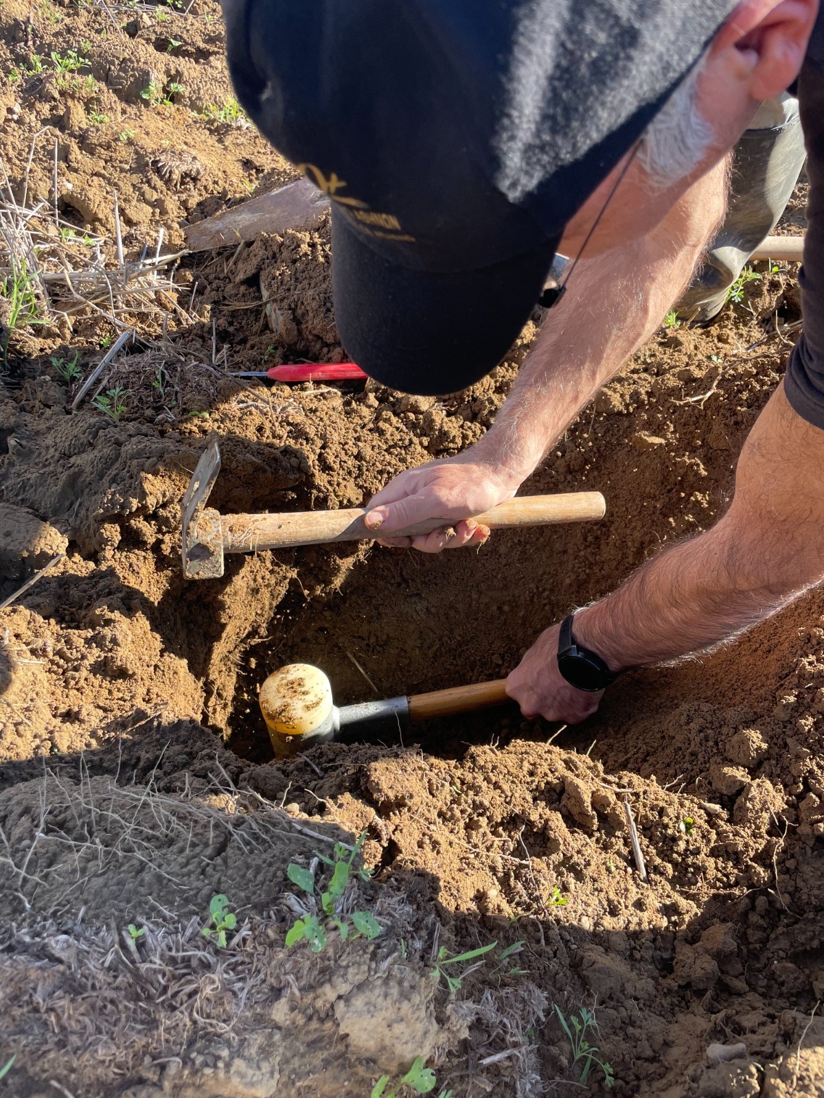
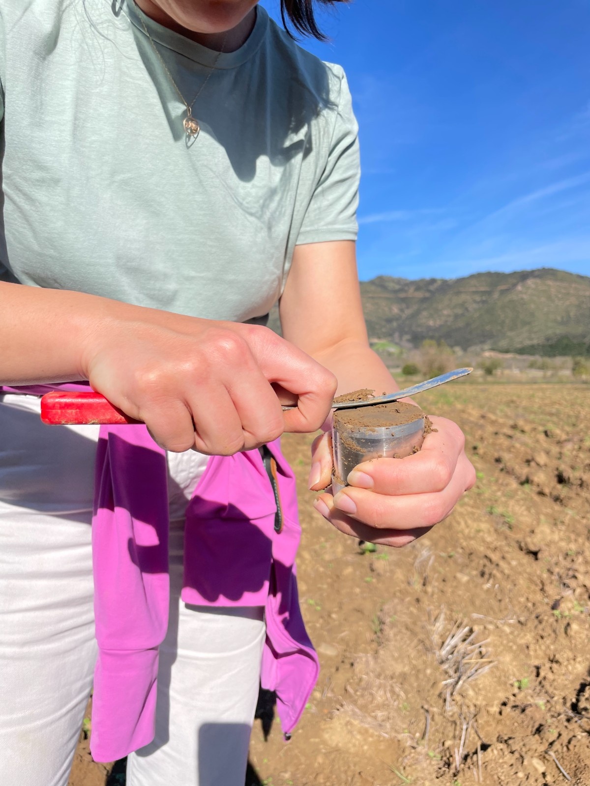
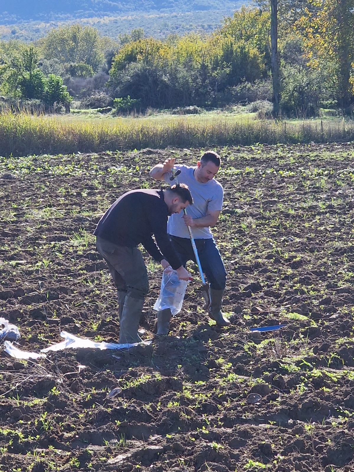
Soil sampling in cereal and alfalfa fields with different cultivation practices (organic & conventional).
Water sampling from drainage canals and the Spercheios River.
On-site soil moisture measurements in the fields under study.
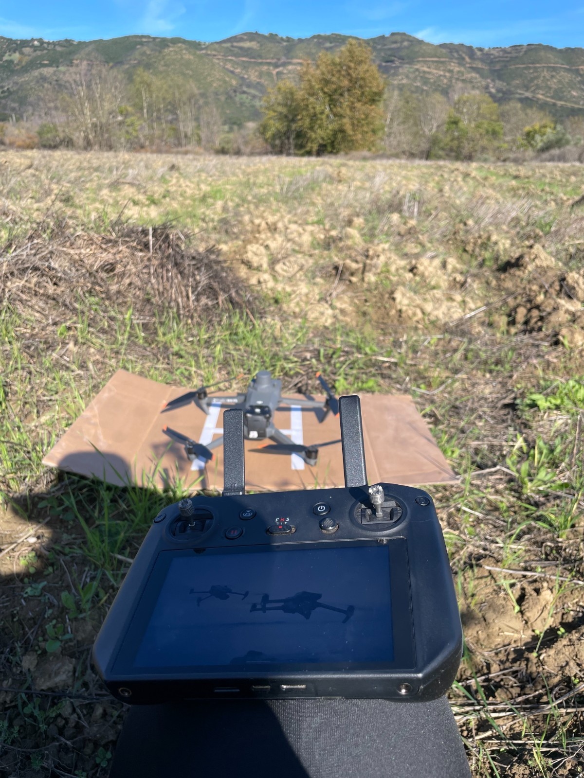
Flights with UAVs equipped with thermal and multispectral sensors to correlate remote sensing and field data.
By combining these measurements, the understanding of agricultural activity and the sustainable management of natural resources is enhanced, allowing Path4Med to contribute to the transition towards smarter, more efficient, and more sustainable agriculture.