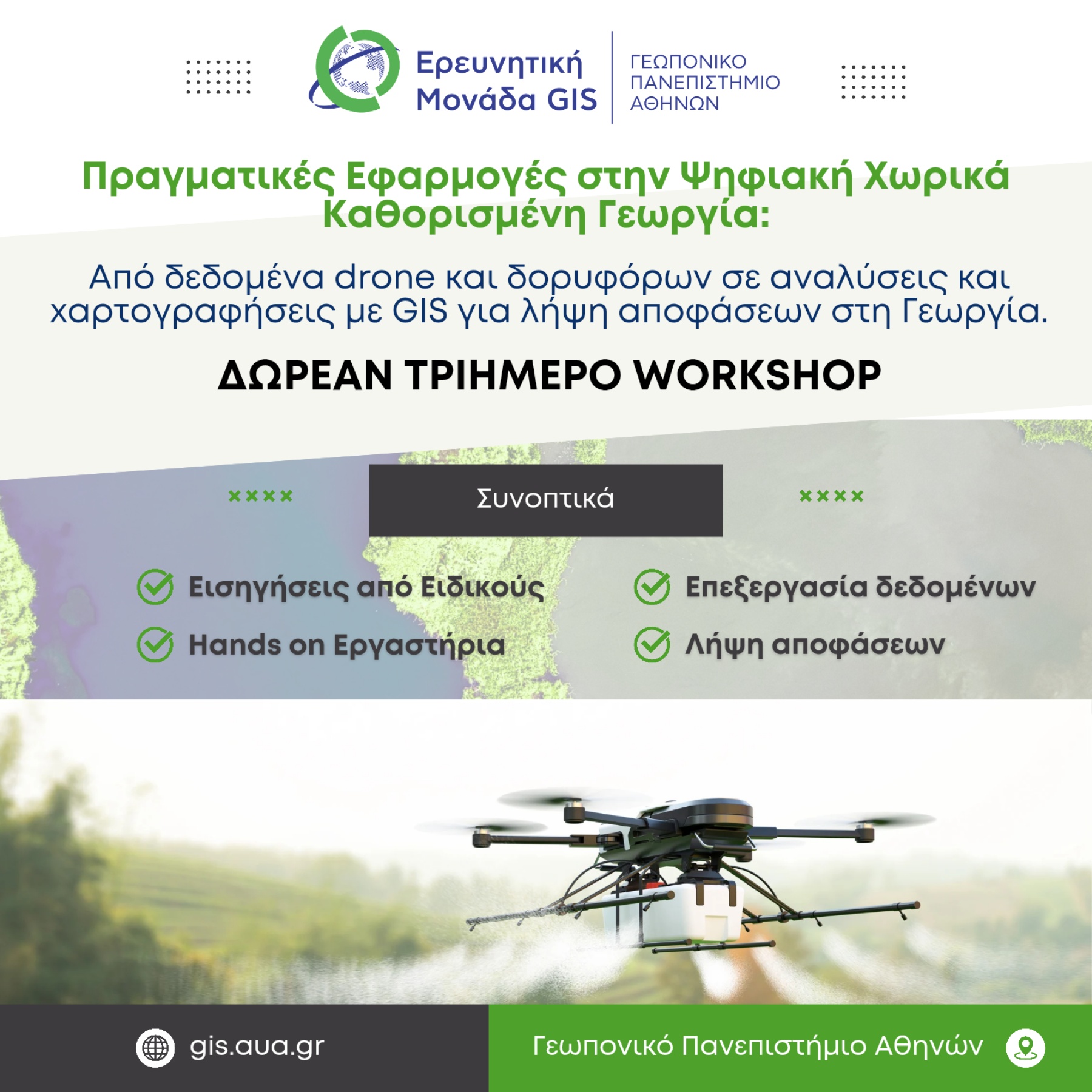
The GIS Research Unit of the Agricultural University of Athens (AUA) is organising a free three-day scientific workshop entitled:
"Real-World Applications in Digital Precision Agriculture: From Drone and Satellite Data to GIS-Based Analysis and Mapping for Agricultural Decision-Making."
Building on its long-standing research expertise and educational experience, and responding to the evolving needs of professionals in agriculture and agronomy, the GIS Research Unit is offering this open scientific outreach event designed to bridge cutting-edge research with practical applications.
The workshop combines theoretical knowledge with hands-on experience and is structured over three sessions.
The first day will feature keynote presentations by experts showcasing real-world case studies from both research and industry. Participants will explore how multispectral and thermal imagery acquired from drones and satellites can be used for the spatial and temporal monitoring of crops, enabling the early detection of agricultural challenges.
The second and third days will consist of practical laboratory sessions, where participants will work with real datasets collected from drone-mounted sensors over a range of crops, including kiwifruit, olive, vineyard, cotton, and barley. Using professional photogrammetry, remote sensing, and GIS software, attendees will learn how geospatial information supports informed agricultural decision-making, particularly in irrigation and nutrient management.
Workshop Schedule
Day 1
Thursday, 30 April | 14:00–17:00
Library Amphitheatre, Agricultural University of Athens
Day 3
Thursday, 14 May| 17:00–20:00
GIS Research Unit Training Laboratory
3η ημέρα: Πέμπτη 14 Μαΐου, 17:00–20:00
.
All three sessions will also be live streamed, allowing remote participation.
Registration email: sgeronti@aua.gr and gisaua@aua.gr
.