Participation of the GIS Research Unit in the Varibopi Reset program for the restoration of burned areas in the Varibobi region
Participation of the GIS Research Unit in the Varibopi Reset program for the restoration of burned areas in the Varibobi region
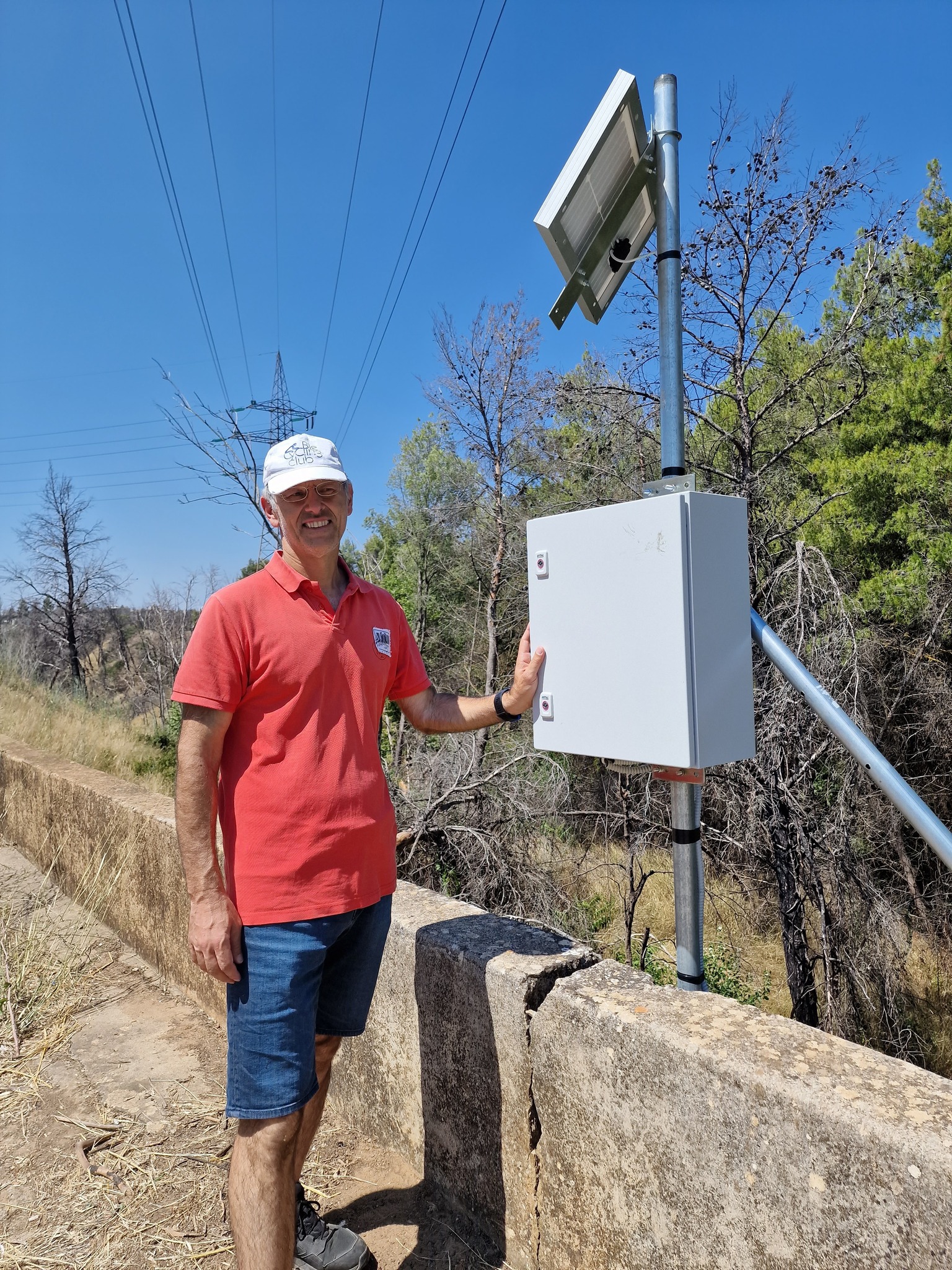
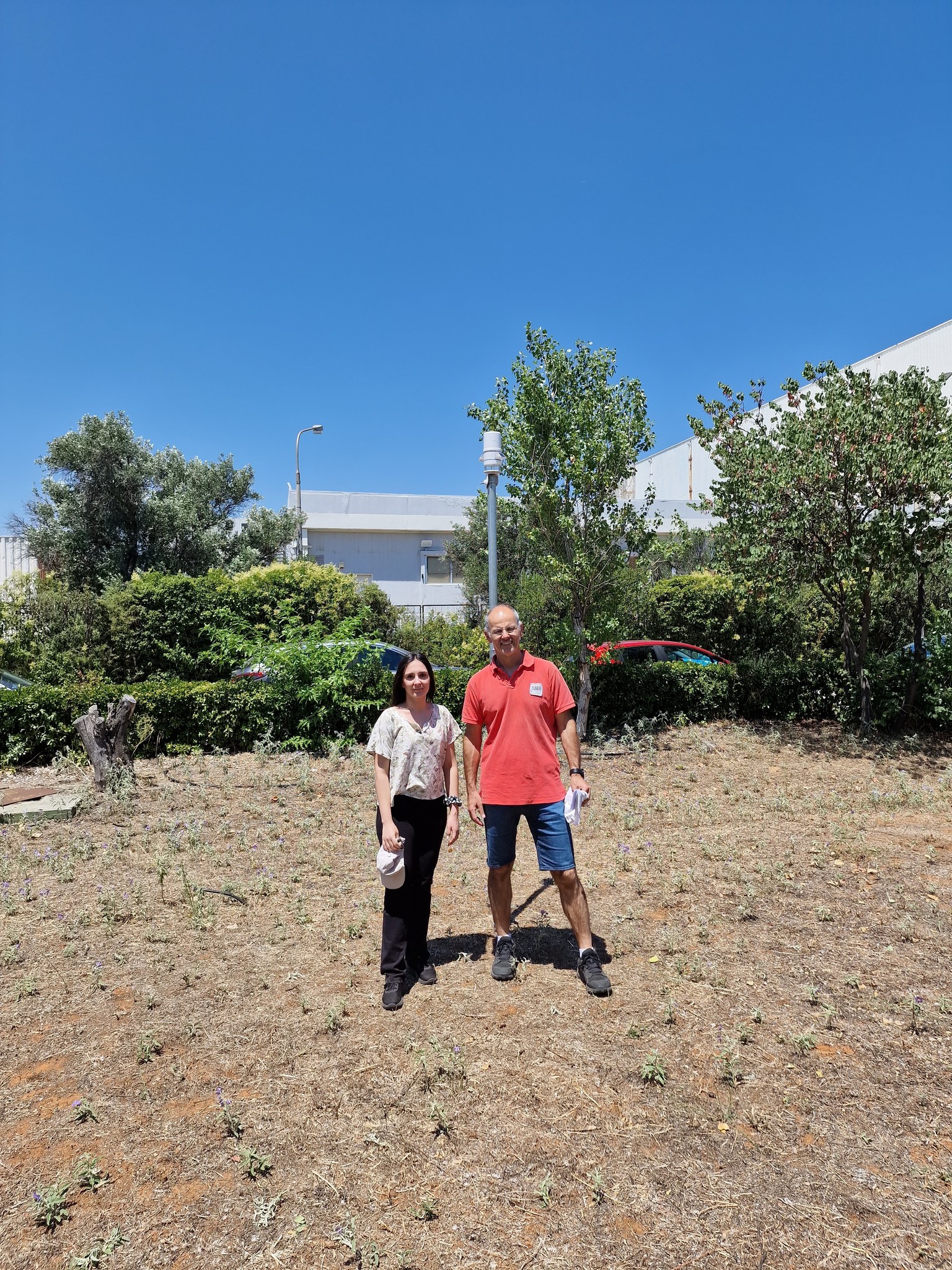
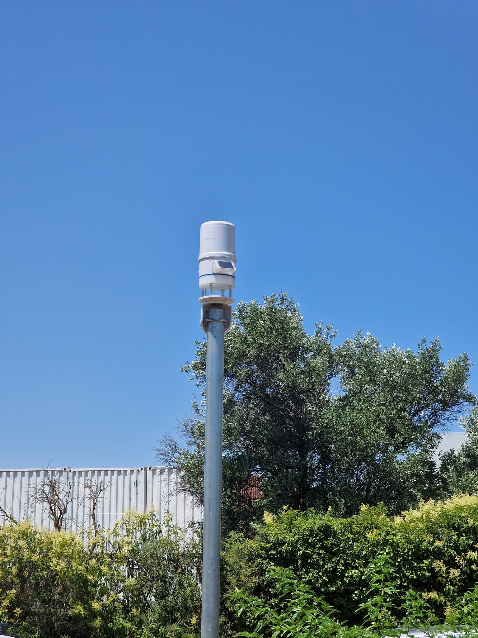
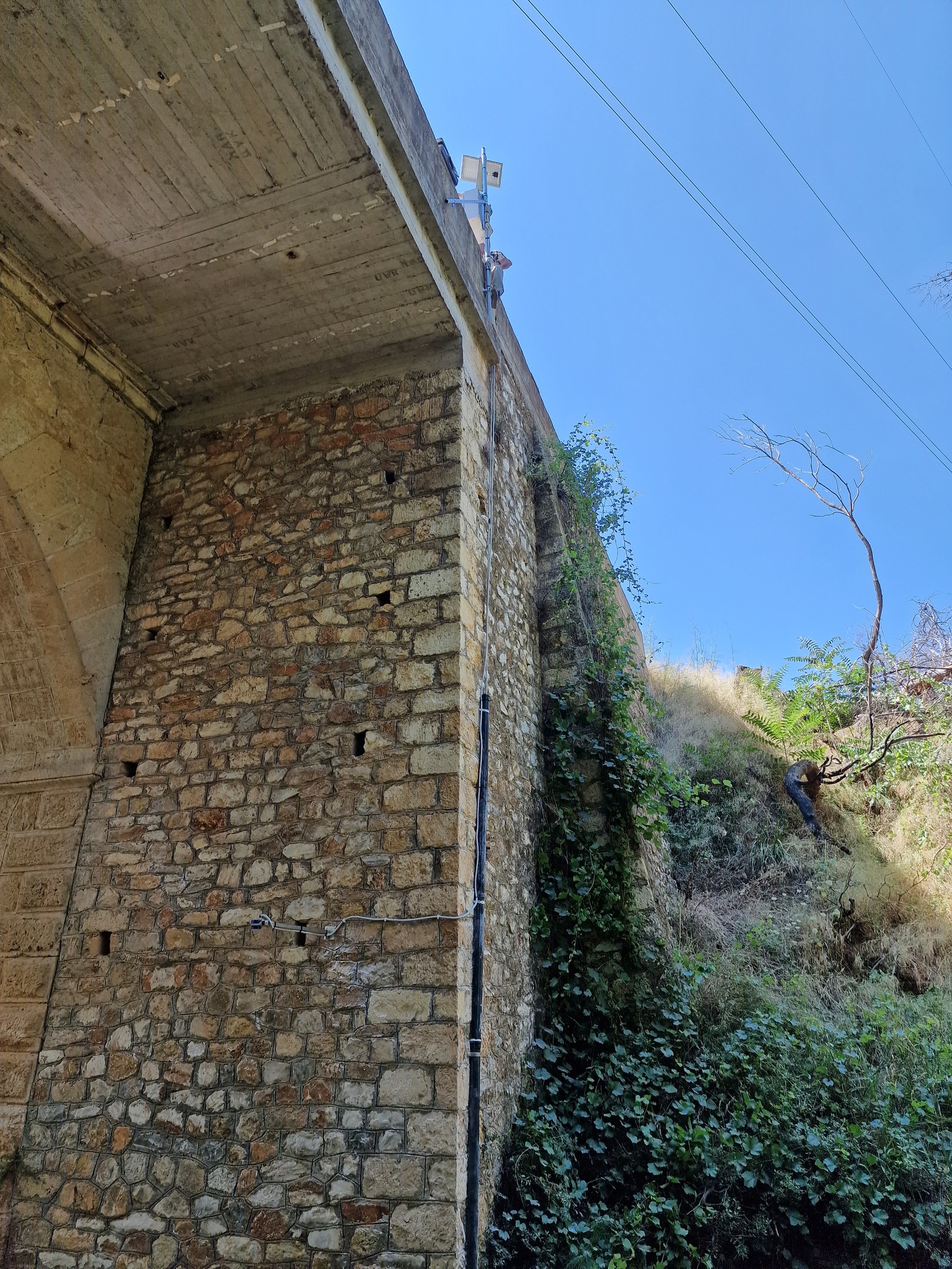
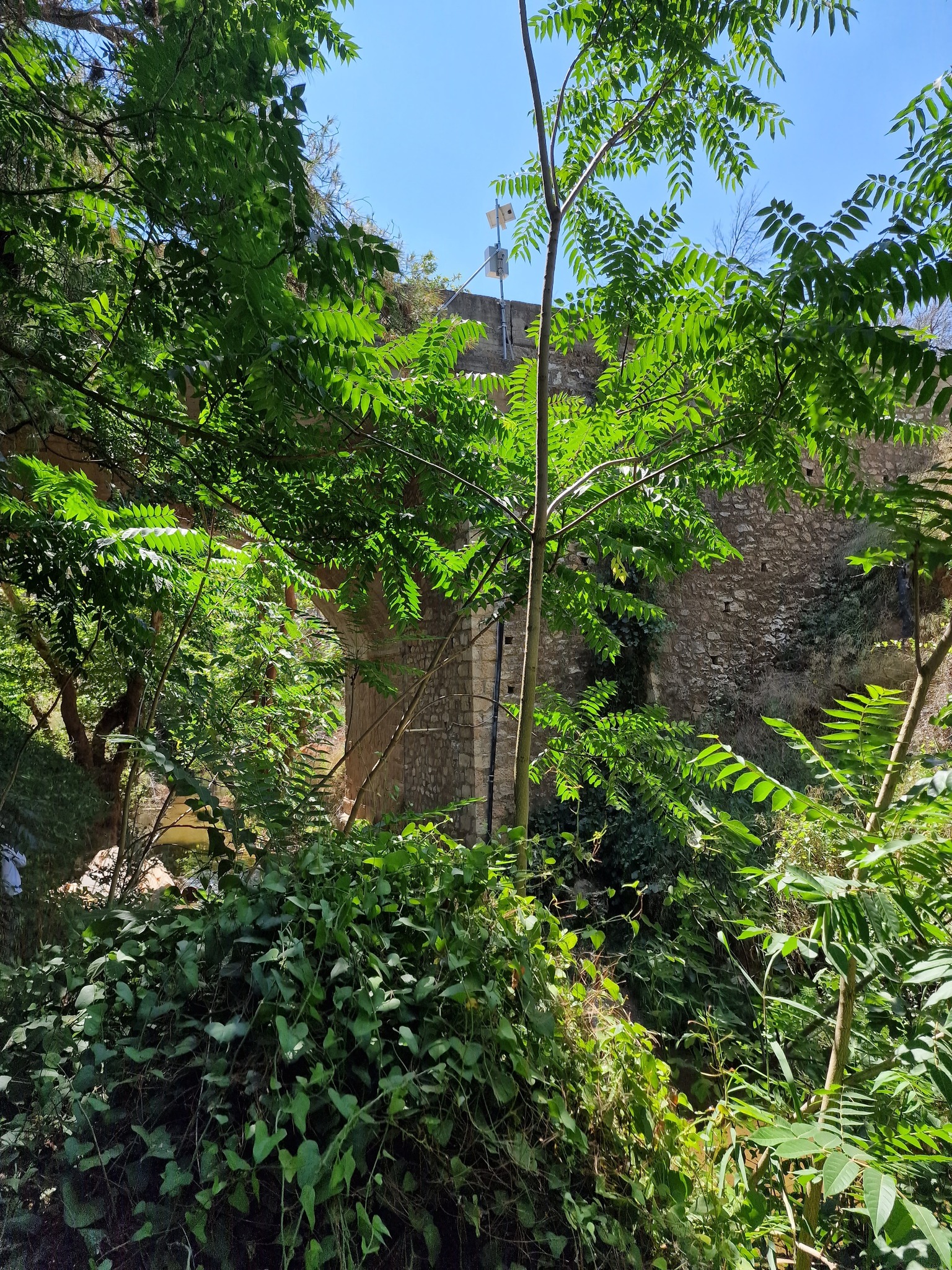
The GIS Research Unit (Dionysis Kalyvas, Konstantinos Soulis, Stergia Palli-Gravani, Vangelis Dosiadis) is participating in the Agricultural University of Athens’ Varibopi Reset project for the restoration of burned areas in the Varibobi region. As part of this initiative, a telemetry hydrometric (with radar for real-time flow measurement) and meteorological station was installed in the area by ScientAct A.E.