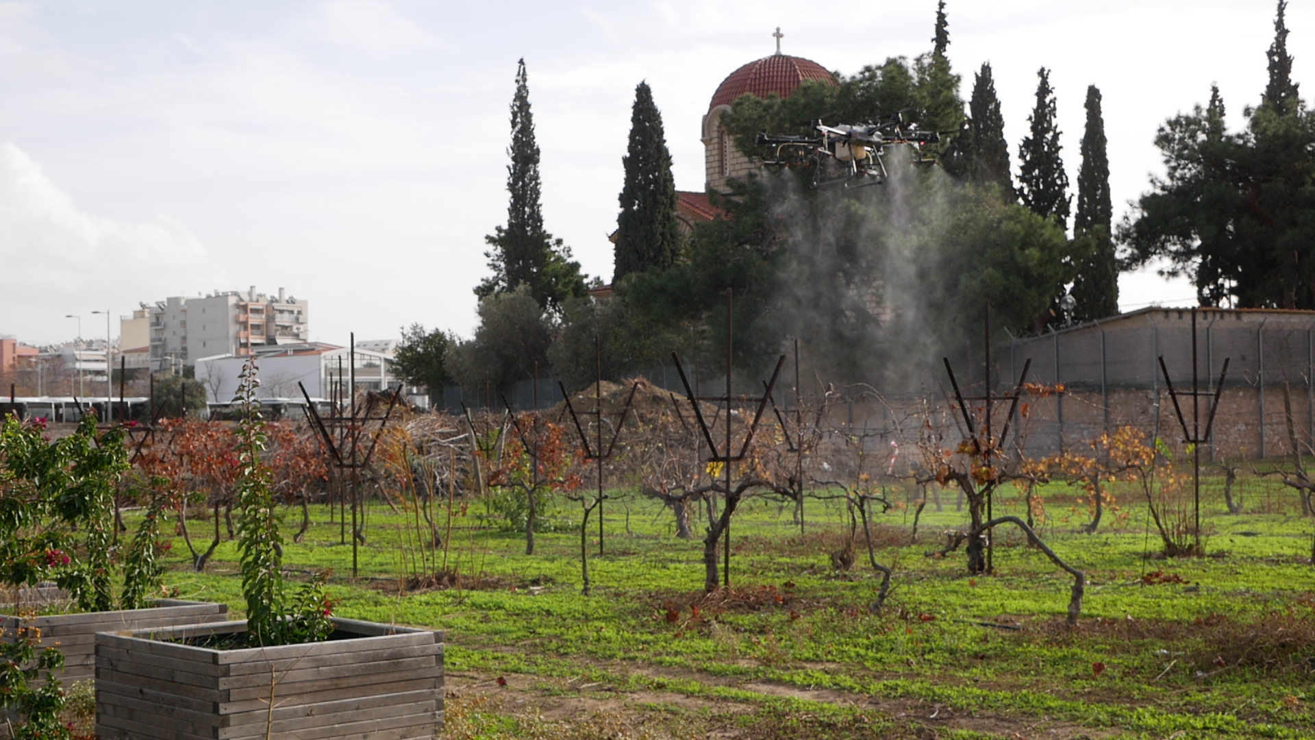
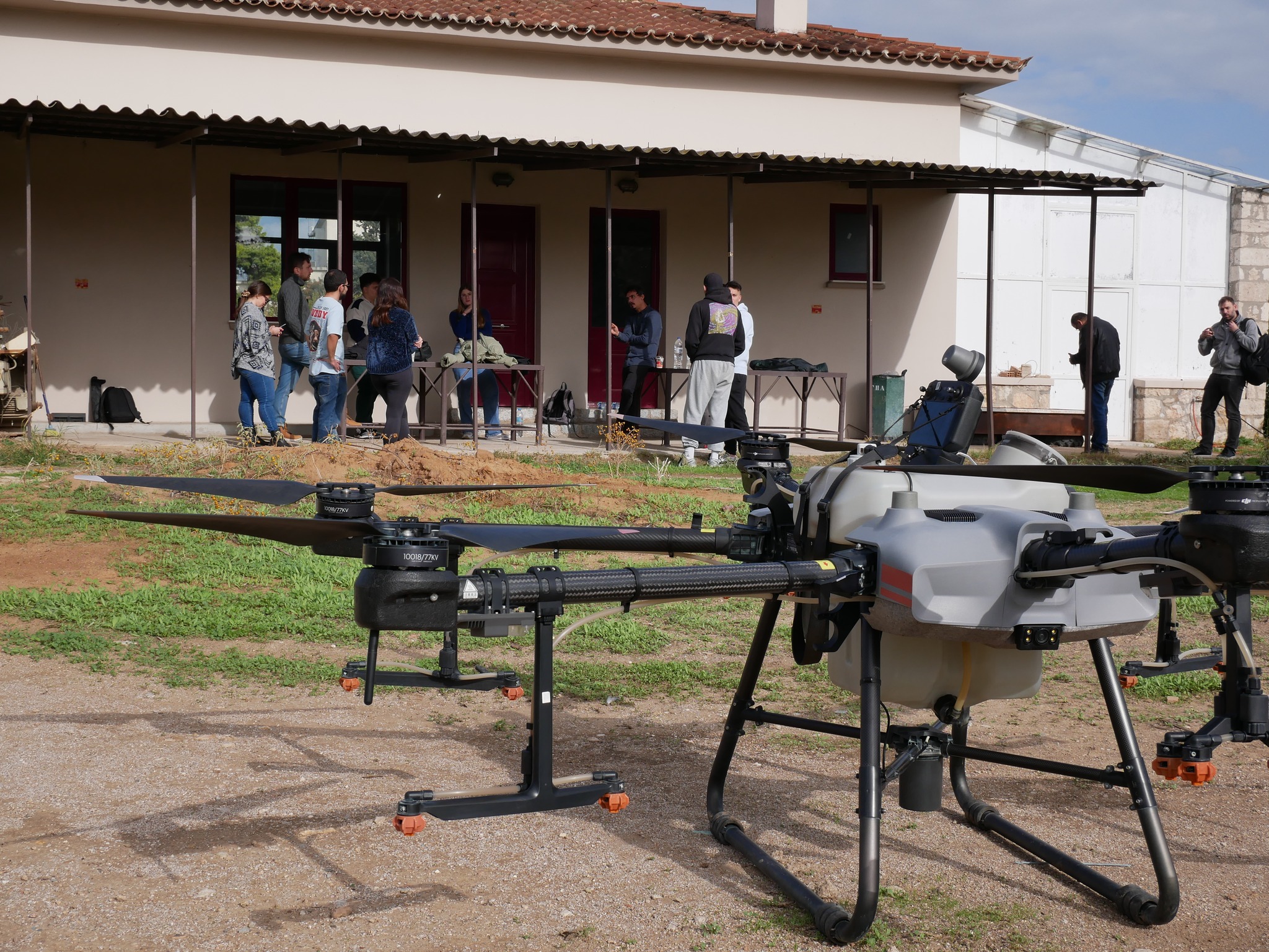
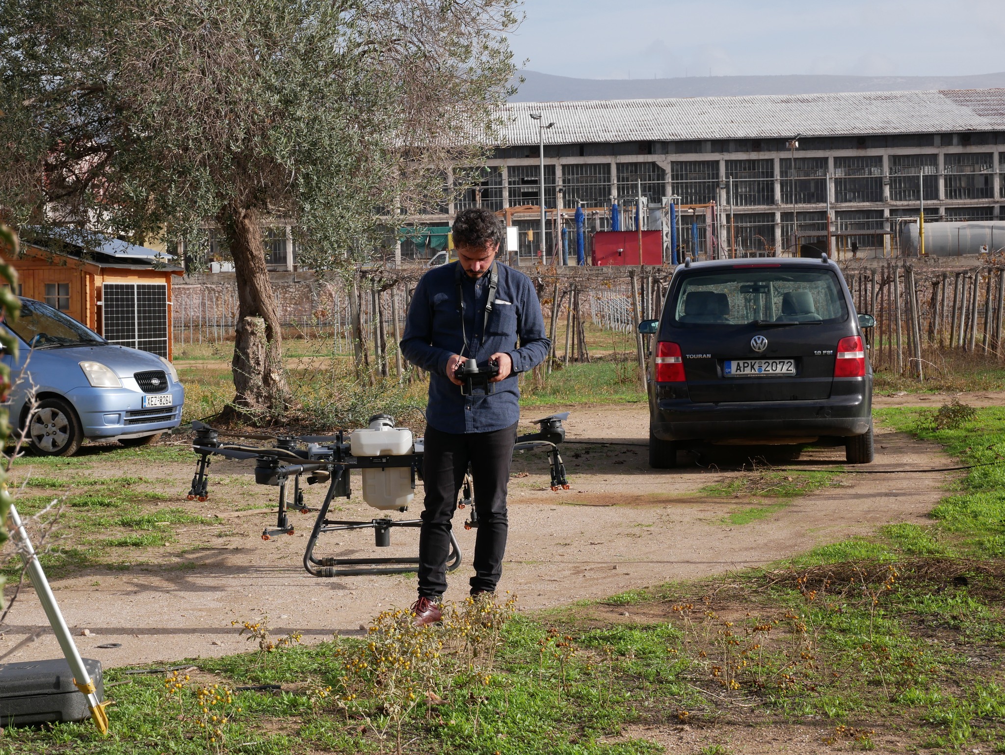
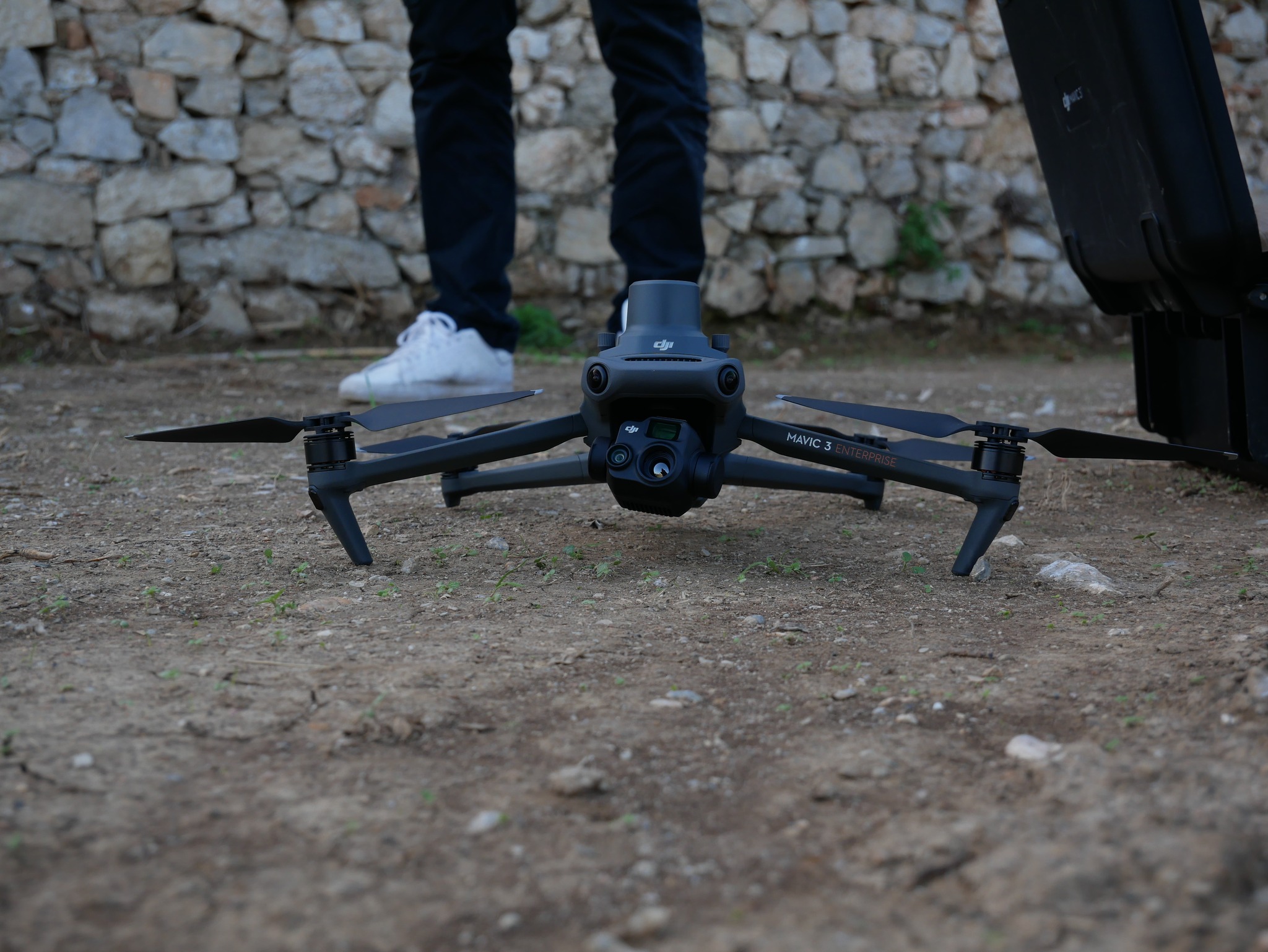
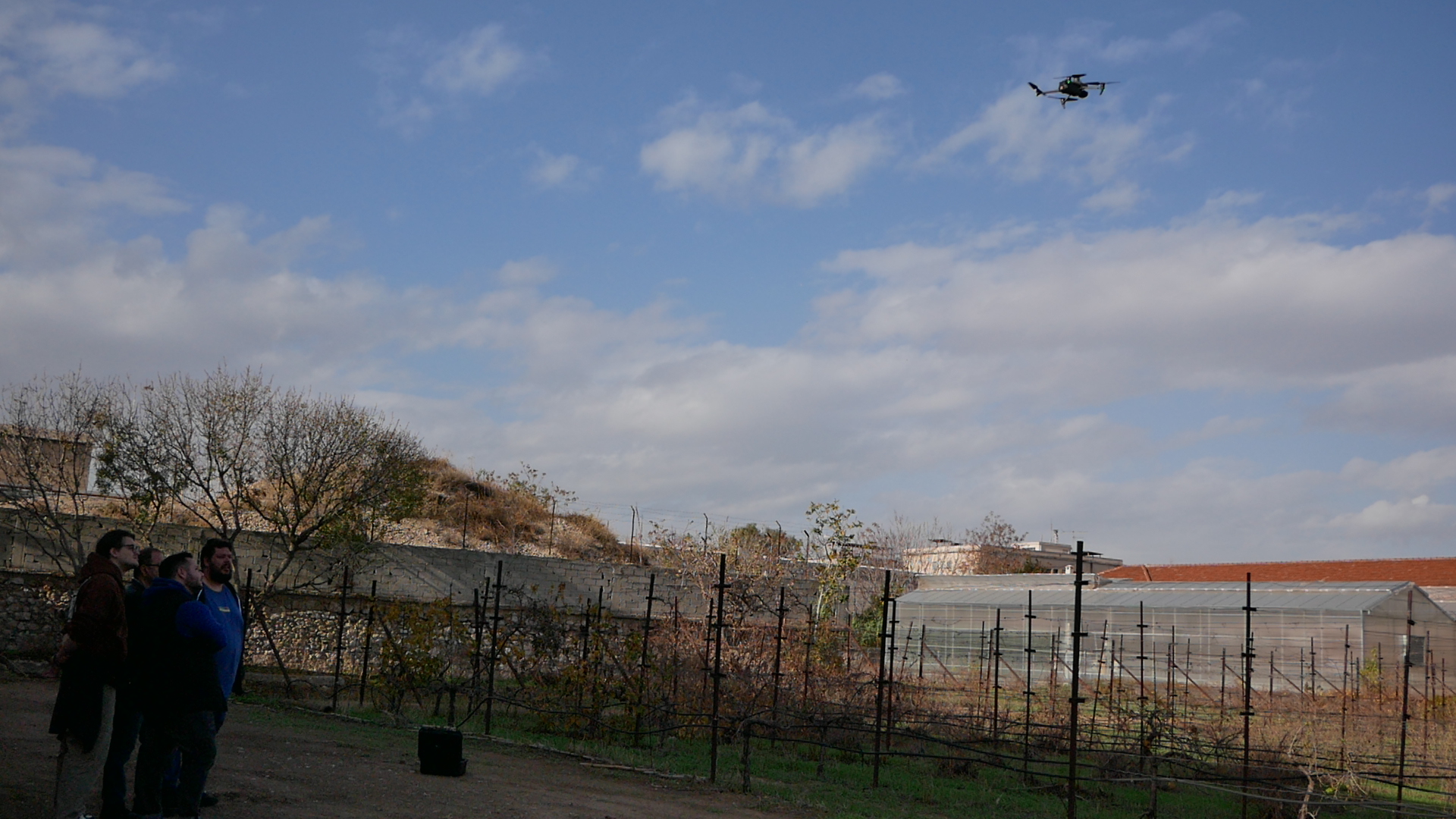
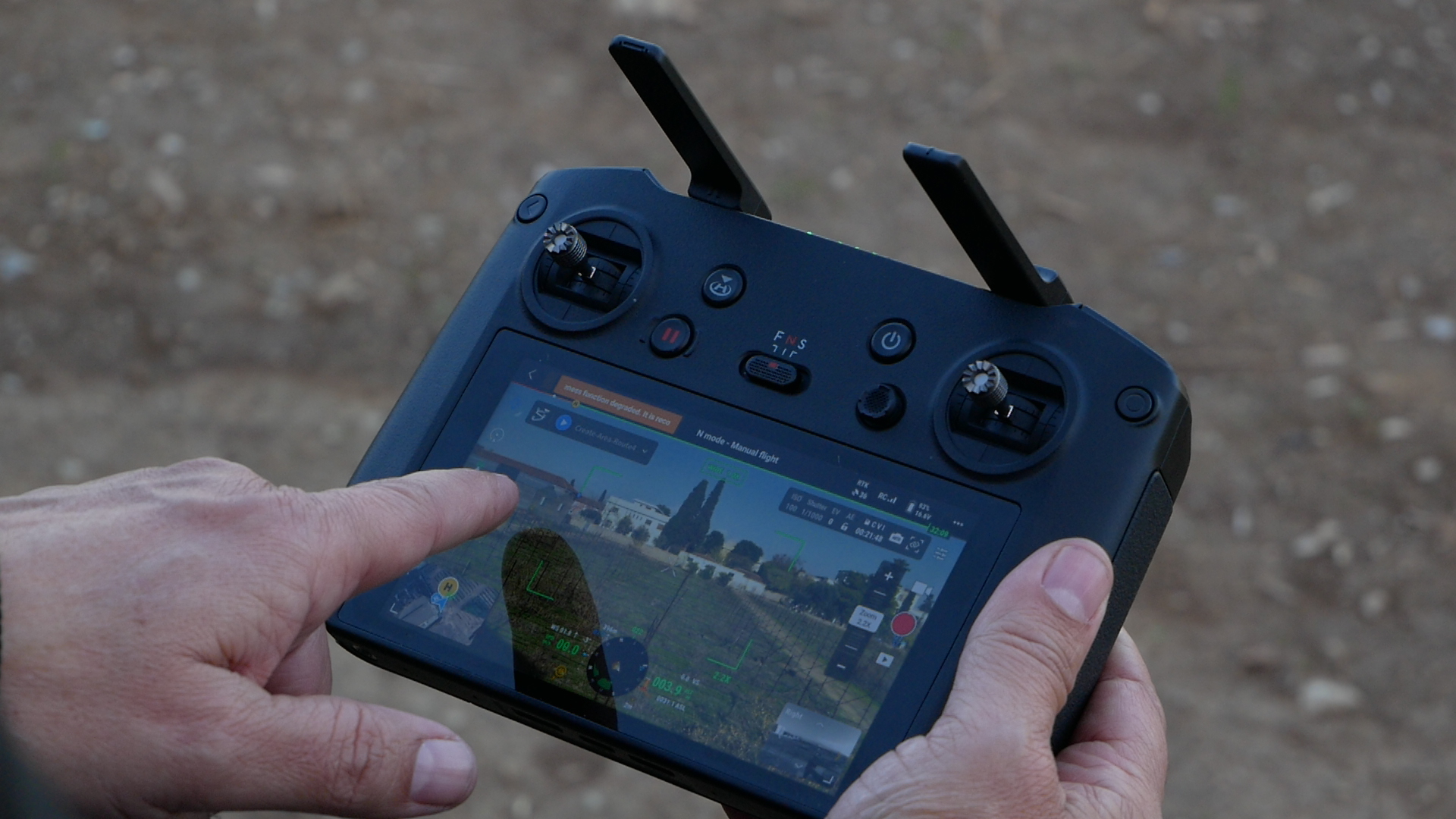
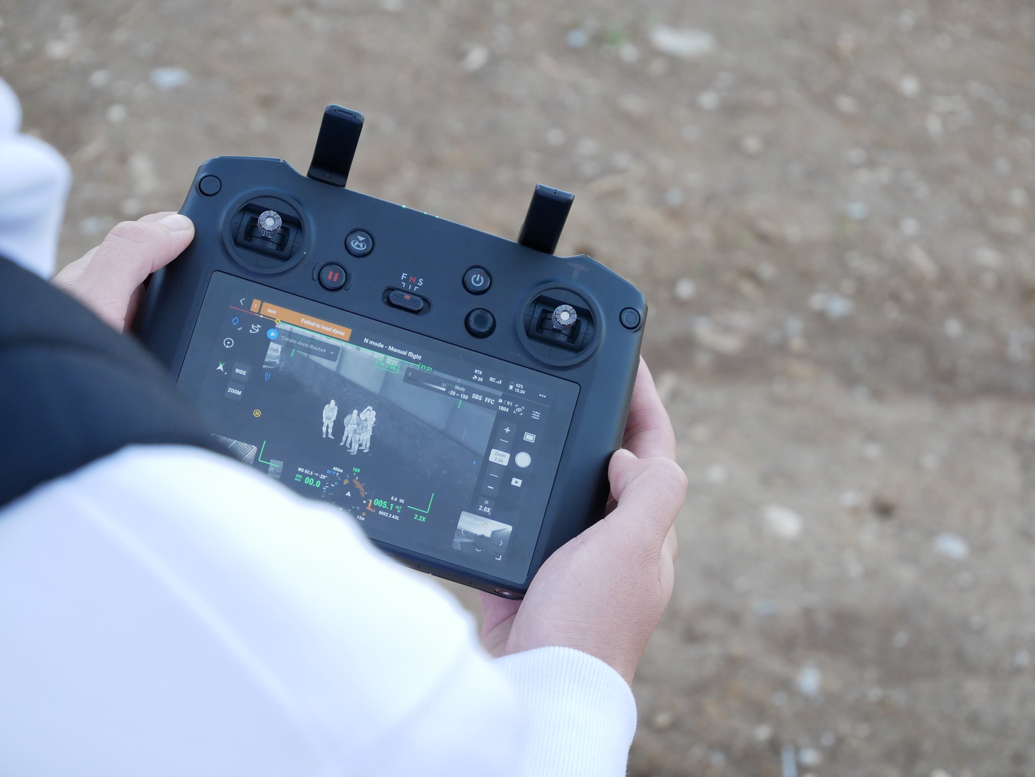
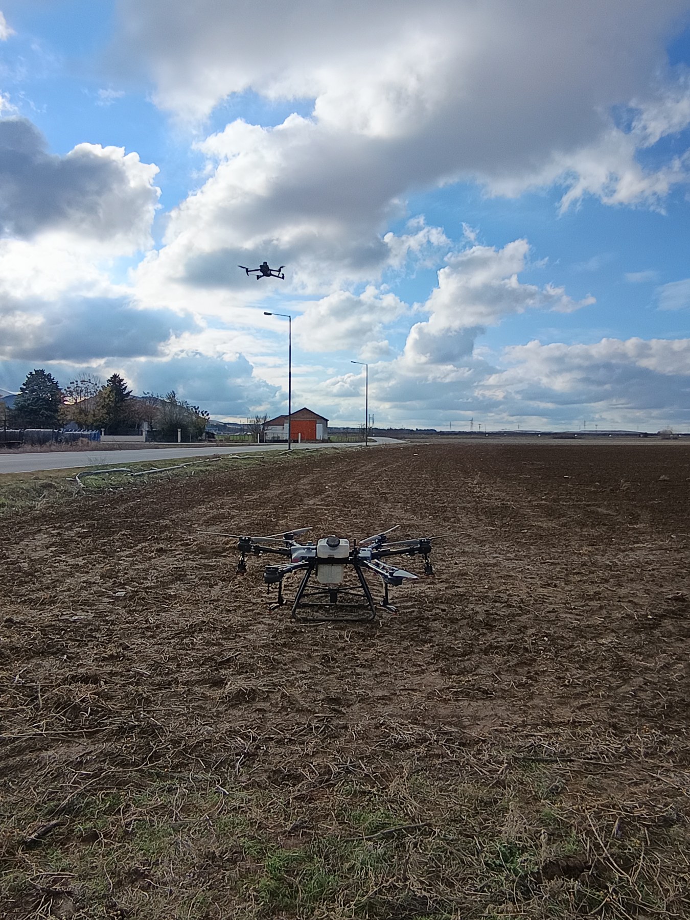
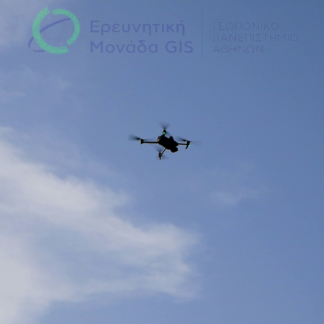
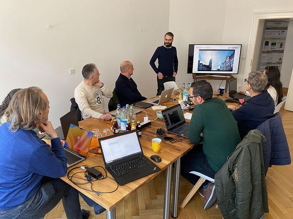
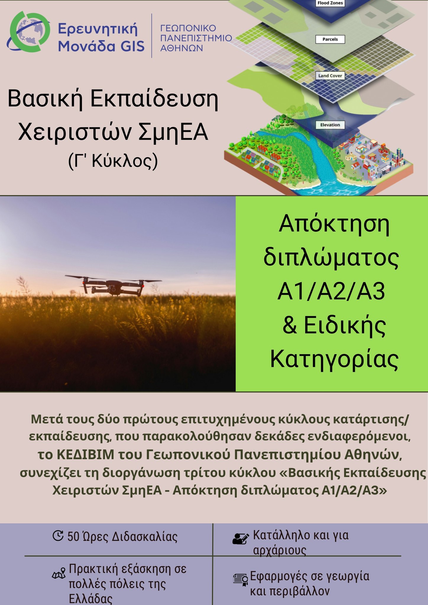
Snapshots from drone flights  (multispectral and spraying) in Larissa (Kileler) and the vineyard of the Agricultural University of Athens, as part of the practical training in the certification program."Basic Training for Drone Operators – Acquisition of A1/A2/A3 License, Cycle B – KEDIVIM". This event was organized by the GIS Research Unit in collaboration with the Center for Training and Lifelong Learning (KEDIVIM) of the Agricultural University of Athens.
(multispectral and spraying) in Larissa (Kileler) and the vineyard of the Agricultural University of Athens, as part of the practical training in the certification program."Basic Training for Drone Operators – Acquisition of A1/A2/A3 License, Cycle B – KEDIVIM". This event was organized by the GIS Research Unit in collaboration with the Center for Training and Lifelong Learning (KEDIVIM) of the Agricultural University of Athens.The drones featured and used for the demonstrations include the DJI Mavic 3M equipped with a multispectral camera and the DJI T30 spraying drone.