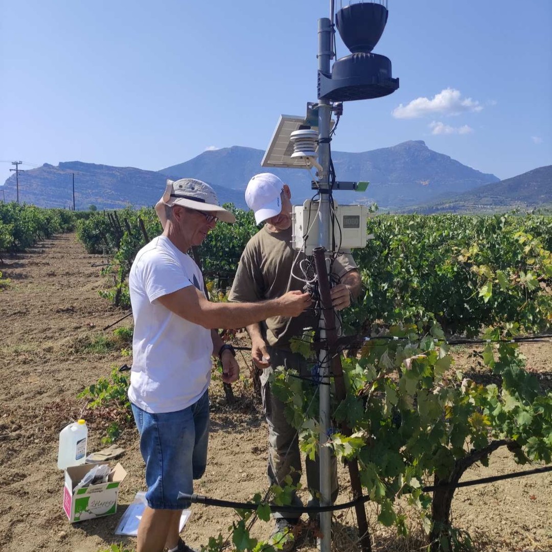
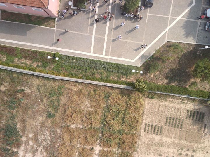
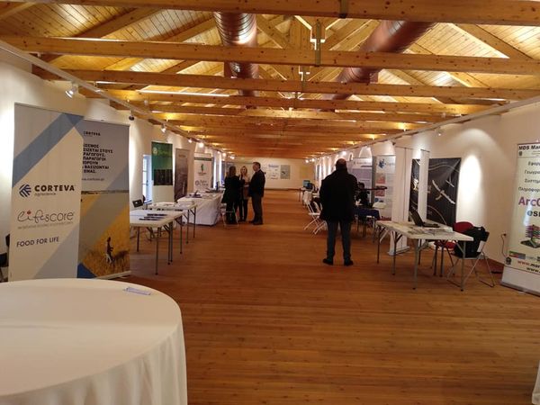
This program is designed for teachers of Geography, Geology, Physics, Mathematics, Computer Science, Technology, History, Religious Studies, and other subjects in Gymnasiums, Lyceums, Vocational High Schools (EPAL), and Special Vocational Education Schools (ENEEGYL).Teachers will gain practical skills in integrating digital spatial information (computer-based maps) into their lessons. This will help visualize phenomena, events, and concepts, making teaching more engaging and effective.Additionally, the program covers satellite data, drone imagery, IoT sensor data, and advanced analytical methods, providing a comprehensive understanding of geospatial technology.

 Accredited Training Program for Secondary Education Teachers
  Enhance your teaching with digital mapping technologies!
 Introduction to computer-based maps for visualizing phenomena
 Registration deadline: March 21, 2025
 Participation fee: €270
 More information & application here
.png)