Geospatial monitoring with a drone of the renovation of the tennis courts at the Agricultural University of Athens (AUA)
Geospatial monitoring with a drone of the renovation of the tennis courts at the Agricultural University of Athens (AUA)
Geospatial monitoring with a drone of the renovation of the tennis courts at the Agricultural University of Athens (AUA)
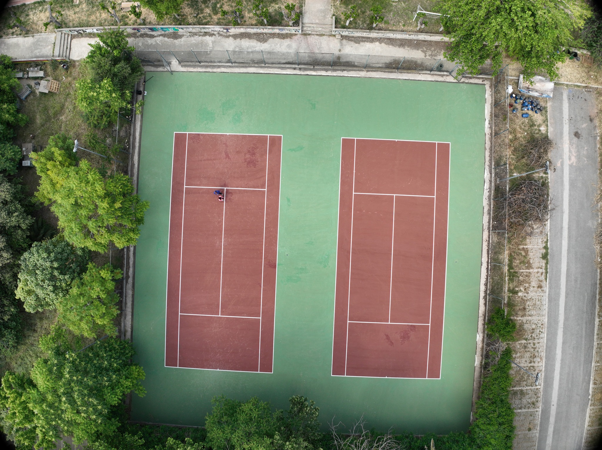
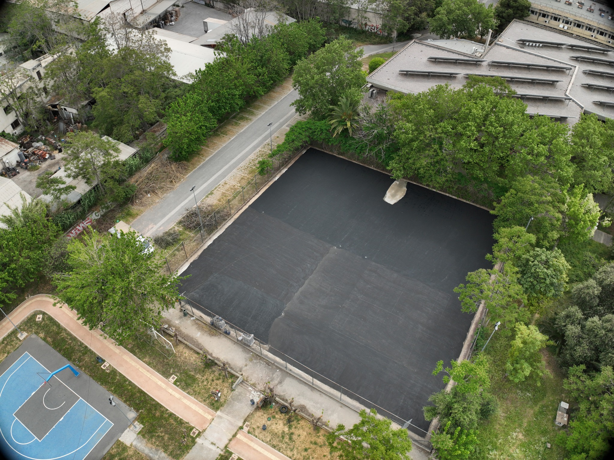
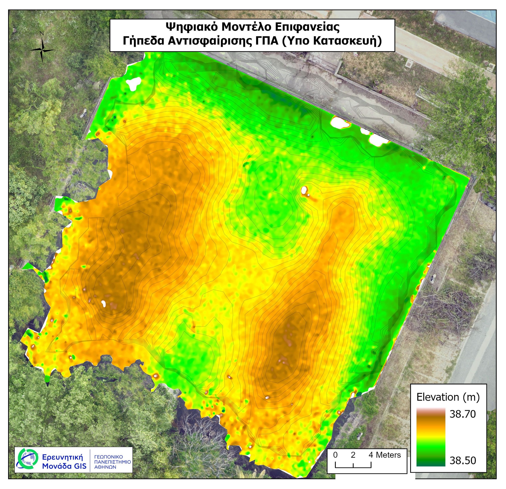
During the renovation of the tennis courts, which is being completed these days at the Agricultural University of Athens (AUA), members of the GIS Research Unit of AUA conducted a drone flight for aerial photography and the creation of a high-resolution 3D Digital Surface Model (2 cm/px). By extracting the model, a detailed orthophoto map of the surface elevation was generated, which confirmed the proper design of the courts' drainage for the efficient removal of rainwater. This highlights the importance of modern geospatial tools in monitoring the built environment.