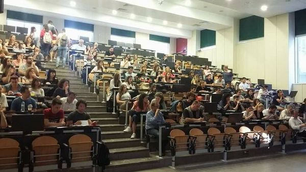
Flight over the orchard of the Agricultural University of Athens as part of a program by KEDIVIM
Flight over the orchard of the Agricultural University of Athens with the multispectral DJI Mavic 3E drone for data collection as part of the training program on Processing Digital Images from UAVs (GIS, remote sensing, 3D models, multispectral and thermal data, vegetation indices) – KEDIVIM (kedivimaua.gr)
#gis #gisaua #drone #dronevideo #mapping #geospatial #cartography #environment #farming #smartfarming #smartfarmingsolutions
More news
LATEST NEWS
17/10/2025
1 week ago
gisaua
10/09/2025
1 month ago
gisaua
28/07/2025
2 months ago
gisaua
04/07/2025
3 months ago
gisaua
30/05/2025
4 months ago
gisaua
17/05/2025
5 months ago
gisaua
No posts found


